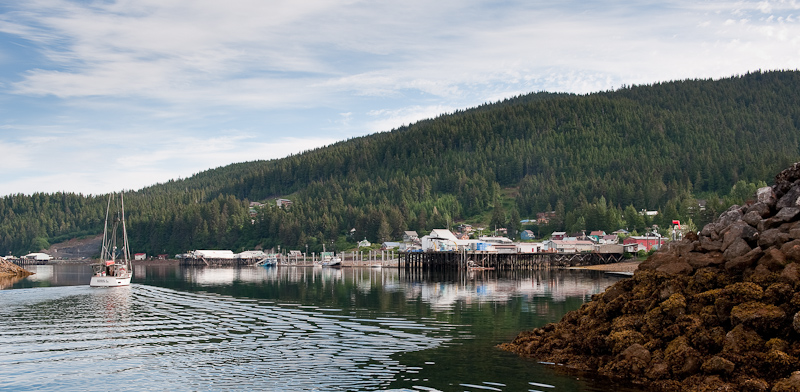
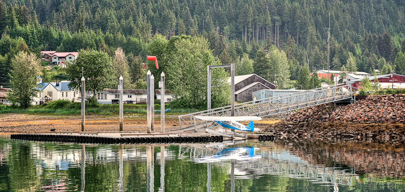
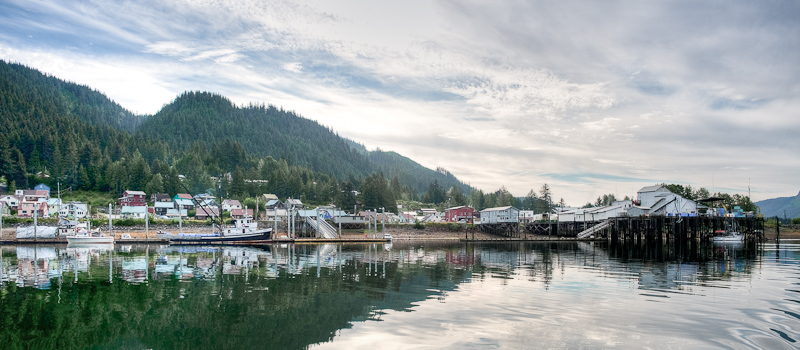
Swanson Harbor to Auke Bay, Juneau

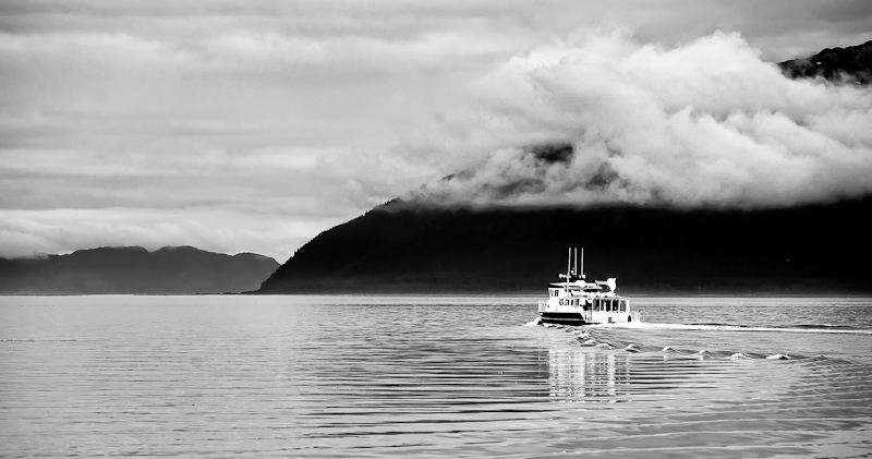
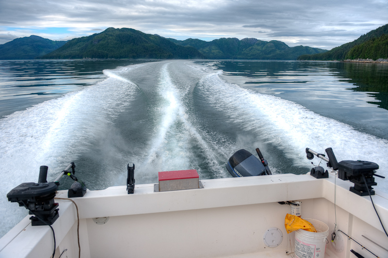
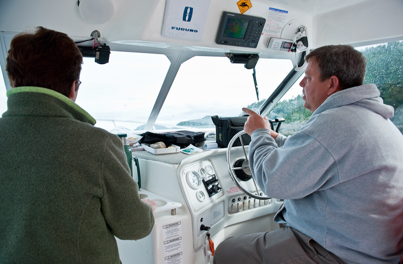
It’s almost over. Today is our last day on the water. In fact, it’s only a half day, because the boat is due back at noon. We got an early start, and with the weather and tides cooperating ,we had a nice ride to Auke Bay. Karen and I trade duties at the helm; an hour at the helm then an hour packing. Whenever Karen took the helm, though, the waves would get rougher and the traffic more dense. Go figure.

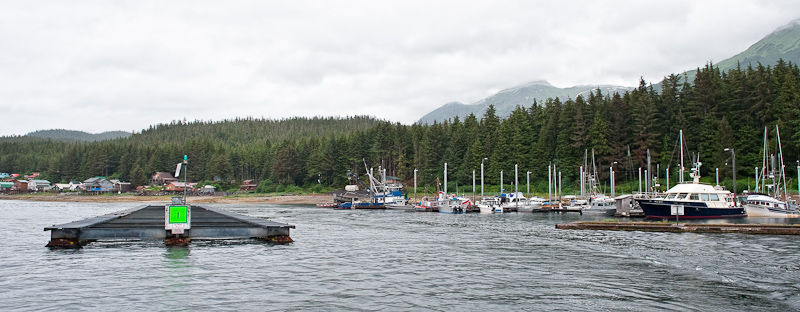
Our hopes were that we would see some humpbacks as we turned the corner around Point Couverden. But they were nowhere to be found. We did see a little activity as we approached Auke Bay near one of the green cans, but it was just a couple of blows and we did not stop. As we were in that area, though, we once again spotted Northern Song and chatted up Captain Mike as he headed to take a look at the whales before also going to Auke Bay.

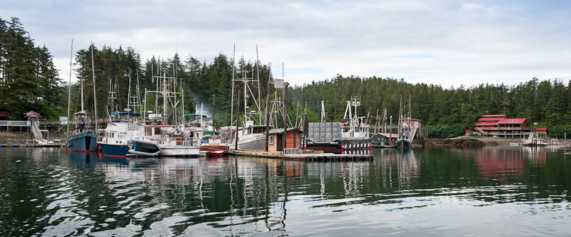
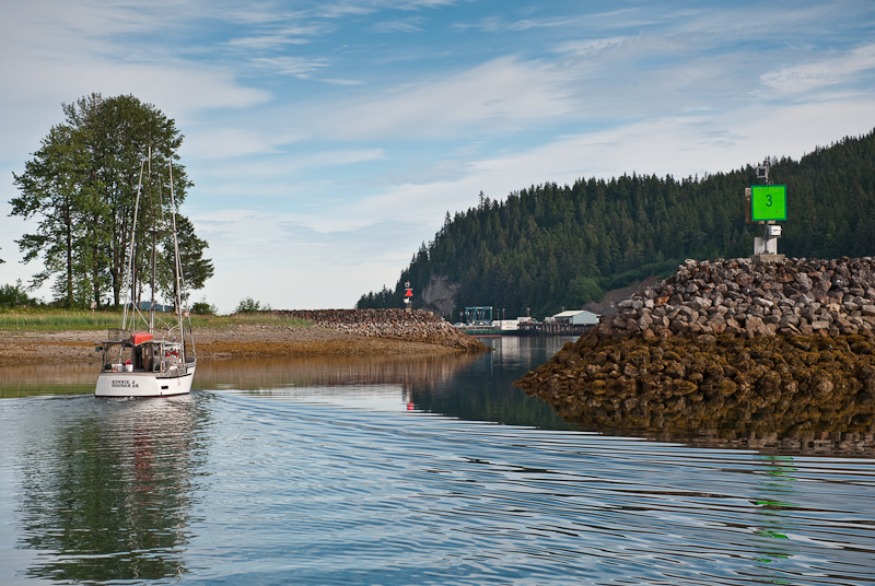
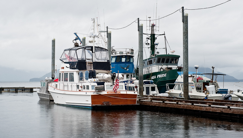
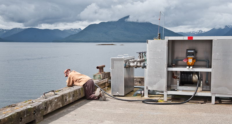
Our first stop at Auke Bay was for fuel. There are two fuel docks, but we only saw the one that’s visible as you pass the harbor entrance. The dock was extremely small, and was full except for the area around back. Karen thought there was no way I could get Arctic Star into that dock, but I did. There was one young man on the fuel docks with his nose buried in his high school math textbook. He finally did come out from the “fuel shack” and helped Karen tie up.

We indicated that #2 diesel was what we wanted, but he just stood there. He finally informed us that he was not allowed to hand us the fuel nozzle because they did not want the liability of putting the wrong fuel in a boat. In fact, all he could say was “the green handle was our friend.” Silly, and in my opinion, a lawyer would have a field day with their approach if it ever came to that.

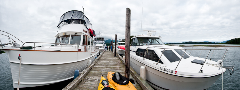
After we took on 300+ gallons of diesel and a couple of gallons of gas for the dinghy, we called our friends at Northwest Explorations to see if they had a preferred spot they where they wanted us to tie up. Auke Bay is a first come, first serve harbor, so we did not know what to expect. The day before when the Mother Goose boats arrived, there was very little space and they were spread all throughout the harbor. Just this morning they were able to move the boats and consolidate their location. Luckily, they also had a great spot for us.

Bill Douglass and Emmelina helped us tie up. Bill demonstrated a new method to tie up to the bull-rails that you find everywhere in the Pacific Northwest. It was shown to him by another cruiser, but since I did not catch that person's name, I call it the Douglass Hitch. It will become our preferrd method to tie up. Here a video of Bill's demonstration.

Brian Pemberton and Bill then greeted us with the replacement control head for the stabilizers in hand and a new fathometer for the helm station. The next charterers would have absolutely everything in perfect working order!

As they began their repairs, we began the process of unloading. Brian was kind enough to take me and my 35 pounds of frozen fish to a Jerry's Meats & Seafoods so I could have them pack adn ship it to my home. Next, he took me to the airport to pick up our rental car. Now that's a full service charter company.

I had rented from Budget, but later found out from Brian that Rent-A-Wreck is the way to go. Their cars are not wrecks and they deliver to the docks and the price is right. We hung out with the Mother Goose fleet for a while longer, then headed off to our Hotel, Grandma’s Feather Bed, a cute Victorian not far from Auke Bay that is actually part of the Best Western Chain. We offloaded and then drove over to the Mendenhall Glacier to scope it out for more exploration the following day, followed by a quick walk through town and a drink at the bar in the Westmark Baranoff hotel. We capped off a great day with extremely tasty pizza and Alaskan Amber on Douglas Island at The Island Pub, which was very laid back indeed.

Bartlett Cove to Swanson Harbor

We enjoyed a good night at anchor in Bartlett Cove. We rose to a pretty morning, bid farewell to Glacier Bay, and started the forty mile journey over to Swanson Harbor.

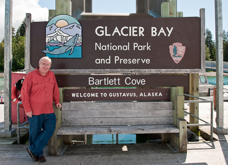
Saying goodbye to Barlett Cove. Left to right: The Lodge, the docks and the fuel dock.

We follow one of our fellow cruisers out of Glacier Bay

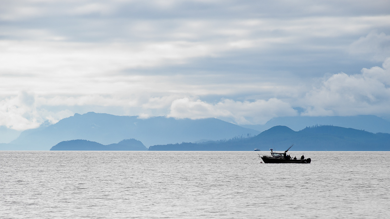
It is Friday, and as Swanson is a favorite spot for the local Juneau-ites, we wanted to get there early so we could find a place on one of the public floats. We ticked off the miles without much activity. We looked for whales, but except for a few spouts, there was not much exuberant activity to see. There was the occasional halibut fisherman, jigging on a pillar that rose to about 150 feet in the channel that averages over 600 feet.

Halibut fisherman punctuate Icy Strait

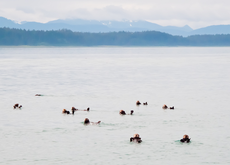
To our surprise, we did pass a raft of otters. As with most of their brethren, they gave us a look, but continued on with their lives without a care.

Pretty darn cute. But they just need to stop eating all the crabs.

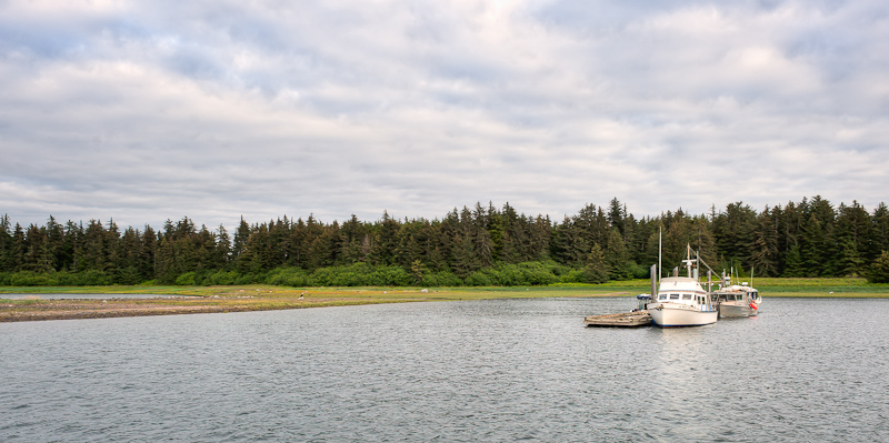
When we arrived at Swanson, there were only two boats on one of the floats and the other float was empty. I set course for the uninhabited float and tucked Arctic Star at the end, with the bow set for an easy departure tomorrow. The floats at Swanson Harbor are humble but functional.

The tide was low and the water on the shore-side of the float looked very thin indeed. We have been assured by others who have done so, that there is plenty of water for a Grand Banks our size (draft 4.5 feet) to dock on the shore-side, but I happily chose the deeper side. The disadvantage of this side is that as the wind comes up from the west, you’re sitting abeam the fetch and you do get rocked a bit. Swanson Harbor is divided from the other rocky bay on Couverden Island by a ledge that is hugely visible at low tide and home to an eagle that simply sat and watched us, barely moving for the longest time.
The "other" float in Swanson Harbor at high tide

As time passed, the “locals” began to make their way to Swanson Harbor. Eventually five almost identical 27 foot boats tied up on our float. Out came the portable chairs, barbecues, coolers, and kayaks. The dogs, the beer, the kids — all added to the commotion that descended upon the previously serene docks. Having said that, the people were friendly and we shared a common love of the water and Alaska. Plus, I made their day by giving them soy sauce and fresh garlic to marinate their salmon.

Somewhere between the arrival of the first three small boats and the last two, a 72 foot Delta yacht decided to make our float his destination. He was definitely out of place. The other large boats in the harbor set their anchor on in the west side of the harbor, in the lee of the land. The captains of the small boats grumbled out loud a lot, insinuating that the large Delta did not belong on this float. Eventually, as the last small boat arrived, the small boat owners moved the large Delta to the bitter end of the float by walking it forward, and all were accommodated.

Full float at Swanson Harbor

Our time was split between relaxing and packing. We’ve found that if we spread out the packing over a day or two, it’s a lot less stressful. Nothing signals that your vacation is coming to an end as much as packing and cleaning up the boat. What I never understand how it seems that there is less room when you’re packing to return home even though you’ve not bought anything during the trip.

We broke up the afternoon by enjoying Alaskan Amber Ale up on the flybridge and taking in our last night on the boat in Alaska.

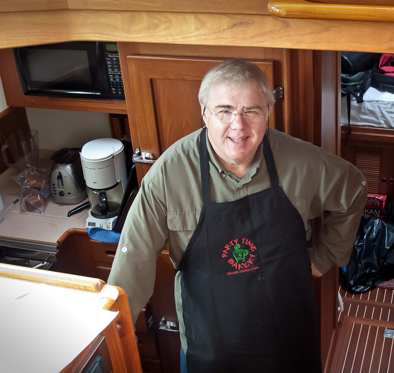
Captain Chef Bob at the helm galley

Reid Inlet to North Sandy Cove, via Glaciers

Reid Inlet provided us with a most welcome peaceful night, and we caught up on some of the sleep we lost in Blue Mouse Cove. In the morning, we watched the crews of Northwest Explorations’ Mother Goose fleet get underway. I called the lead ship Deception and offered to take some photos of her with the glacier in the background. As the Grand Banks came abeam Arctic Star,the captain chose to make a disparaging comment on my attire; I was still in my “jammies.” His mistake. As they passed I lowered my camera, turned around and mooned the crew. Not exactly how they expected to start their day.

Deception departs Reid Inlet after being "mooned"

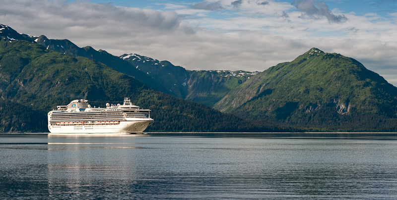
One of the big cruise ships (only 2 allowed in per day) passed Reid Inlet on their way north to see the other glaciers. Shortly thereafter a second big cruise ship headed up the same way. We did some calculations and decided to have breakfast before we set off for the same destination. We hoped they would be leaving as we arrived. For the past week, Karen had been watching the weather in hopes of timing our day at the glaciers so that we had the best weather of the week; sunshine was in our hopes. Her calculations and prayers worked. It was a beautiful morning. There were clouds in the area, but where we were, the sun came out and started to dominate the view.

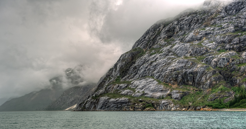
Granite and clouds define the landscape...until the sun comes out

When the clouds retreat, the mountains advance

We left Reid Inlet with a final farewell to this cool glacier and lovely anchorage. The anchor came up covered in thin, sticky glacier silt. Karen had her hands full getting it clean. We decided to head to Lamplugh Glacier first and take a look down Johns Hopkins Inlet (closed to motorized vehicles at the present time) before heading up Tarr Inlet to the Margerie and Grand Pacific Glaciers.

The Coral Princess makes its way from glacier to glacier

As we neared Lamplugh, we saw one of the large cruise ships coming out. I called him on VHF 13 to learn his intentions and set up a port to port pass. This was the Coral Princess, heading from Lamplugh up to Tarr Inlet, and she would be no factor for us. We thought we’d have this area all to ourselves when we heard the 2nd cruise ship call the Coral Princessand arrange a port to port pass as well in Tarr Inlet. That told us that the 2nd cruise ship was likely to be coming into our view shortly.

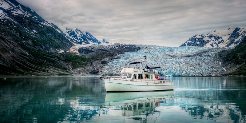
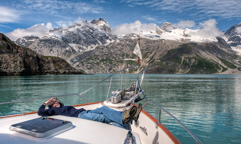
We spent some time at Lamplugh Glacier, drifting in front of it and snapping away with the cameras. It was so sunny and bright, and the glacier was quite attractive with some snow covered hills in the background. Shortly thereafter, the Norwegian Pearl poked her nose around the corner on the far shore from where we were. I spoke with the captain about his intentions, and we arranged it so that he would follow the far shore to Jaw Point, hover there to afford his passengers a great view, and then we’d kind of trade places. We enjoyed watching him maneuver, and we suspect that many of the passengers took photos of our boat. We were lazing about at idle, with Karen lying in the sun on the bow, one head on a fender as a cushion. Pretty nice.

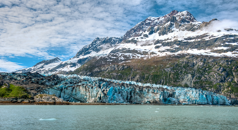
Lamplugh Glacier's blue is striking against the granite grey and snow white mountains

Waiting for the cruise ship to move on so we can get a good view of the Johns Hopkins glacier

The Johns Hopkins Glacier and its surrounds

It's hard to resist taking lots of pictures around here

Caught you!

You too!


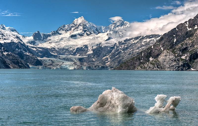
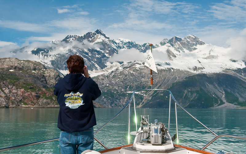
What was even nicer was the view down Johns Hopkins. Wow…it looked like the Matterhorn in the background with a lovely glacier spilling down to the sea. We took lots of pictures before heading north up Tarr Inlet. As we headed North, we passed the Coral Princess again (she was southbound now) and a small pocket cruiser…and then we had the two glaciers all to ourselves for the entire 2 hours or so we hung out there.

The Grand Pacific Glacier at the head of Tarr Inlet is massive at over 34 miles in length and 2 miles wide at its face. However, the face looks like a big pile of dirt; not very photogenic. really unattractive and extremely dirty…it looks like a dirty wall rather than a glacier. Only from a distance can you see the ice “road” of the glacier.

The Grand Pacific Glacier has a very dirty face

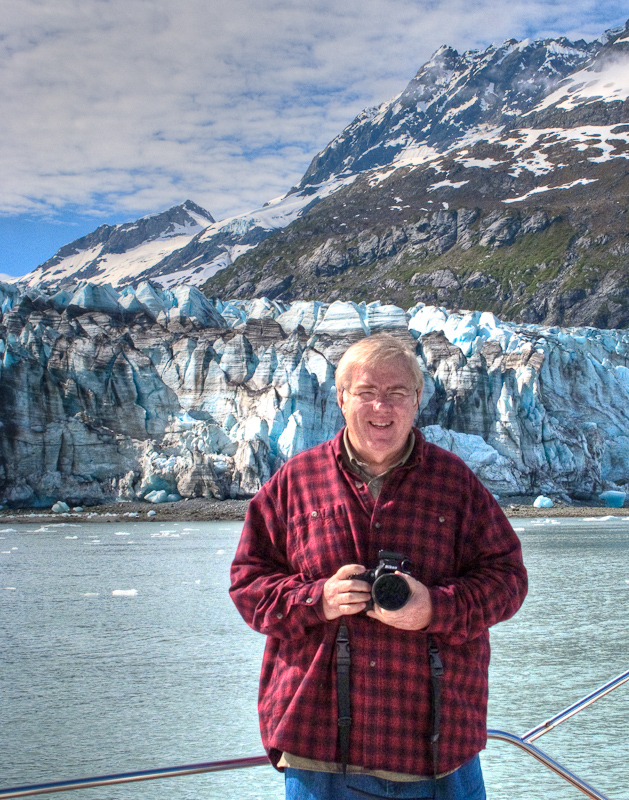
Luckily for us, the Margerie Glacier was just off to port, and this was the glacier Karen noted was the primary photo opportunity. It is much more of what you expect in a glacier. White with glacier blue and a sheer face that calves and launch bergie bits into the water with a resounded retort.

Margerie Glacier is the most photogenic of the lot

It was gorgeous, a pretty blue with big spires of ice. We worked our way through all the bergie bits to get close enough for photos and we drifted for a long while, watching the glacier, taking photos and watching some calving. We also noticed that the sun was deciding to go away, and clouds were moving in, especially back down the way we had to depart.

One of the nice features of the glaciers in Glacier Bay is that the approached as not typically clogged with ice. It is not difficult to approach and most of the ice is small and widely spaced. You can do all the glacier watching you want here and never leave and of your hull paint or gel coat behind.

Not hard to understand why we do this, is it?

Karen must have had too much sun today. She's getting goofy.

So around 2, we headed southbound to check out a possibly anchorage at Russell Island, not far from Reid Inlet where we had spent the prior evening. A quick check showed that this was “OK” but not super, and so we decided that we might as well head south to North Sandy Cove. This would allow us to get well south of Blue Mouse Cove, and should also provide some bear watching opportunities. There wasn’t much wind, so the southbound travel was quite pleasant rather than slamming into the wind and seas as we had seen other boats do earlier in the week.

About 7:30 or so we arrived at North Sandy, to find not only our Mother Goose friends, but two other boats. We saw a black bear ashore as we checked out anchorages, and finally dropped anchor in about 35’ of water at high tide. We chatted briefly via VHF with Brian on Deception, and watched some of the dinghy activity going on around us while we had a late dinner and a great bottle of wine. We settled in for a quite night with plans to explore the cove in the morning before heading south to Bartlett Cove.

North Sandy Cove has a lot to recommend it, including the views

Blue Mouse Cove to Reid Inlet

(Karen writes)  Yikes, what a miserable night we had in Blue Mouse. When we anchored earlier in the day, the winds were from the NE. However, about 11pm, they turned to the South. We should have gotten up, pulled the anchor and moved to the other side of the cove. However, we hoped the wind and seas would lie down in the nighttime. This was a faulty assumption.  The fetch picked up, the boat was rocked from side to side, the anchor chain was making noise, and the waves were crashing on the boat. Bob ended up sleeping (or trying to) on the settee so he could see the anchor circle on the Nobeltec  display and make certain he heard any anchor alarms going off. I tried to sleep but was unsuccessful. I swear I was awake every hour on the hour, between the noise, the waves, the rocking, and the anchor alarm that was set by the bed, which went off for no good reason all night long.

About 5am, we had both had it. We decided to get the hell out of Dodge. Bleary eyed, we realized one of us had to run to the flybridge to turn on the master Raymarine; normally a PITA but not dangerous. Today getting up there required the balance of a mountain goat. I did it, hanging on to everything and anything I could find. I was prepared to go on the heaving bow to raise the anchor, but we decided to do it from the safety and warmth of the cabin. This was our first time using the helm control station for the windless and it worked like a charm. We headed out to find greener pastures.

However, it was still cloudy and rainy and windy, so not much was green. Coupled with the fact that we both were sleep deprived, it was a sad Arctic Star that departed Blue Mouse. I suggested we head over to Tidal Inlet to see what we could see. Of course, this meant beam seas across the bay…sigh…Bob minimized the issue by tacking, and it wasn’t too long before we were out of most of the wind and seas in Tidal Inlet. This is a narrow inlet with steep-to sides, the location of the potential landslide that caused the Park Rangers to move their float from Blue Mouse to South Sandy Cove. We enjoyed the scenery despite the gloom as we went down to the head. On the way back, we saw a nice ledge with reasonable depth and we dropped the hook. It set well and within minutes we were both asleep. We slept in the peaceful inlet for 3 hours, and awoke at 10am feeling much better and with a more positive outlook on life. We had breakfast, and lazed around, and then headed out for Reid Inlet, which has a glacier at its head that is not tidal but on land, so you can dinghy up to it and check it out.

You got to find a picture on rainy days too

On the way up the Bay, we swung by Skidmore Cut to see the “whale carcass”. Yes, there is a whale carcass, and no, it wasn’t that exciting, at least when we went by. We heard from other boaters that they saw bears and wolves feeding on the carcass when they went by. Oh well.

As we neared Reid Inlet, the sun started to come out just over the glacier. It was lovely and guess who was there? The Mother Goose Fleet.  Of course, they took all the great anchoring spots, but we found one too and were welcomed to the inlet.  After getting anchored, Brian and Bill Douglass came over via dinghy to try and troubleshoot our stabilizer problem. How many men can you fit in a small engine room? It was fun to watch, though all our efforts were to no avail. However, we did help narrow down what the issue might be and hopefully the next charterers will have full use of the stabilizers once some new parts are put on in Juneau.

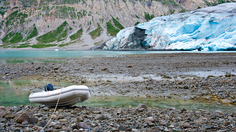
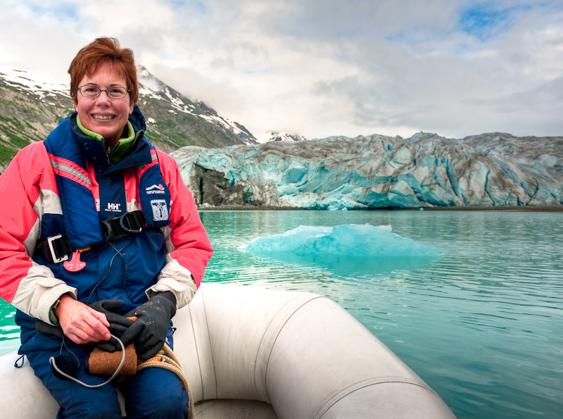
Stabilizer troubleshooting finished, we lowered the dinghy and headed for the glacier. We beached the dinghy on a falling tide (always a problem) and sort of did a mountain-goat walk, fording some streams and glacier outflow, to get to the face of the glacier and actually touch it. It was really cool, and really beautiful. There was a lot of water flowing from under the glacier and it made for good pictures.

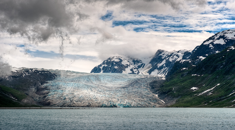
The face of the Reid Glacier. Many miles of ice are behind this and out of sight from this low vantage point.

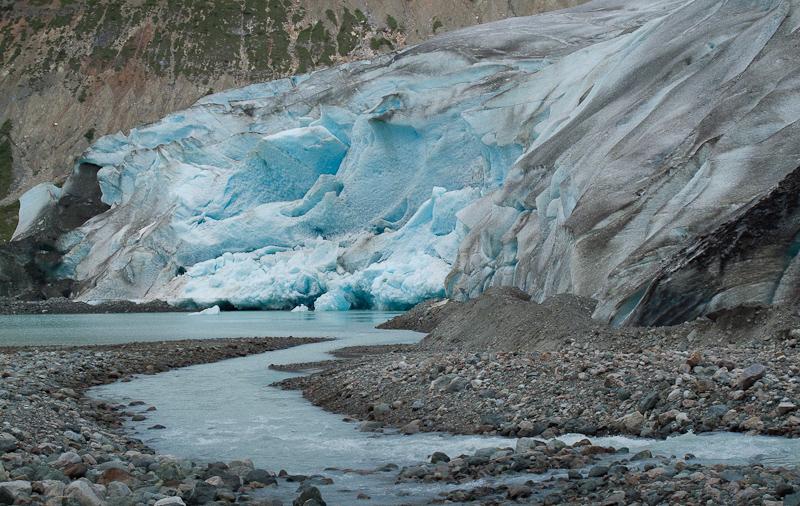
You never realize how much water comes out from a galcier until you get close. This was just one small outflow from the massive ice wall.

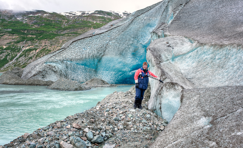
"I touched  the face of a glacier"

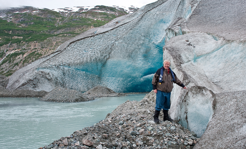
"Me too"

When the tide goes out around here, it goes really fast!

Karen leads our tour of Reid Inlet

Neogaiting around the small bits of glacier in Reid Inlet

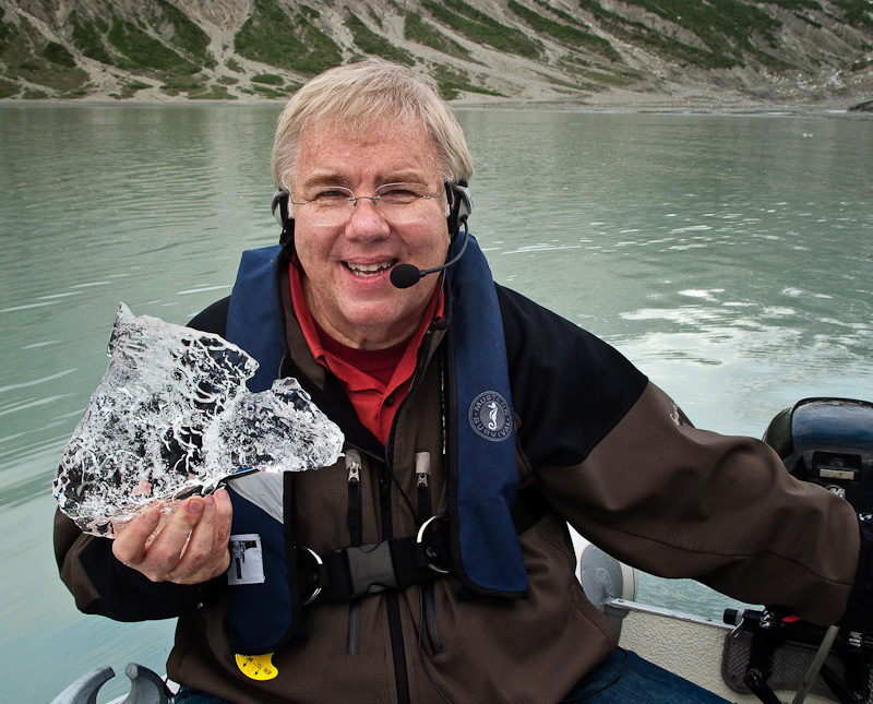
Glacier ice is very different than regular ice. Dense, clear and does wonders for any alcoholic beverage.

On the way back to the boat, we noticed some kayakers making a camp on the port side of the glacier…brr…can’t imagine that was as comfortable as Arctic Star! We also saw that the charter boat Safari Spirithad come into the inlet, and as we dinghied by, we spoke to a crew member who told us she was 105 feet long.  This boat was anchored near the face of the glacier, and one of the Mother Goose boats, a 42’ Grand Banks, was off to her port side. The GB looked like a toy remote control toy boat given the scale – not only the scale of Safari Spirit, but the scale of the entire glacier and inlet. It’s something we’re still not used to in Alaska. I took a cool picture of that and hopefully it will show you what I mean.

Back on board, Bob made his famous curried chicken salad and we feasted before hitting the sack for more “catch up sleep”, enjoying a calm and nearly windless night after the rock and roll of Blue Mouse.

Snug Cove to Blue Mouse Cove

  It was a peaceful night. Snug Cove provided a very well protected anchorage. When we awoke our boat had a few hundred black flies sitting on the decks, rails and kayaks. They proved to be no problem and by the time we were ready to lift anchor, they had departed for parts unknown. It was almost as if they needed a place to spend the night.

The anchorage at Snug Cove is surrounded by dramatic granite

It looks completely different when the clouds move in; but still beautiful to me.

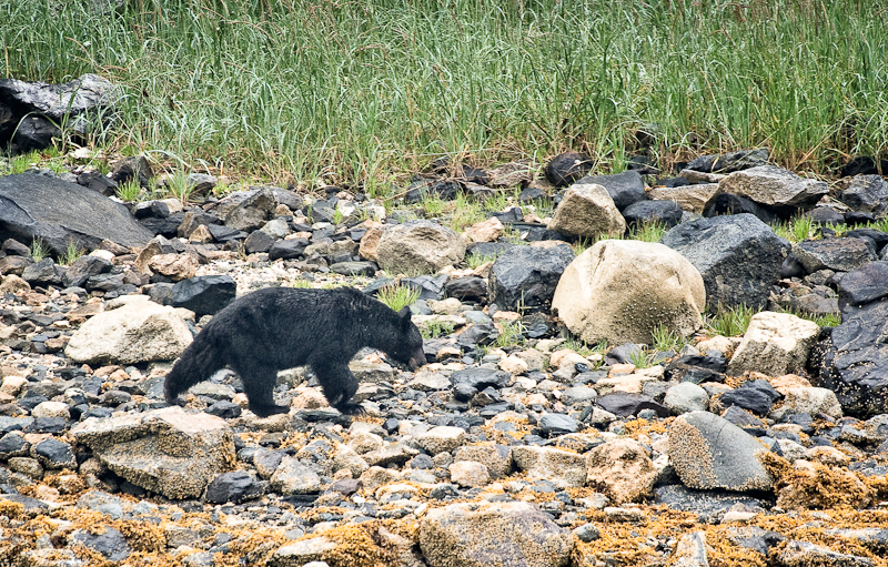
As I was shaving, I looked out the window and on the near shore was a black bear. “Bear”, I called to Karen who sprung into action, grabbing her binoculars and charging the saloon windows. We watched for about thirty minutes as the black bear made his way along the beach. This bear seemed to be on a mission, because he seldom stopped to graze on a tasty morsel or uproot some green grasses. He finally disappeared along the stream bed at the head of the inlet. That’s one bear spotting for me this trip. All the rest of the bear sightings go to Karen.

The only bear that I was able to spot before Karen

We made our route to Blue Mouse Cove such that it would swing by Geikie Rock. This outcropping is one of the locations within the park where you must remain 100 yards from the shoreline line. As it was restricted, we were hoping that there would be good critters to observe from a distance. However there was not much on the island; a few seagulls and a spattering of other birds and two sea lions.

We set our course for Blue Mouse Cove in hopes that the weather would continue to cooperate and we could do some kayaking in the adjacent inlet, Hugh Miller. The Hugh Miller Inlet is one of a handful that is restricted to non-motorized vehicles during certain times of the year. But the wind and rain came up as predicted, except it was from the north rather than the south as forecast. We set the anchor in the northeast cove of Blue Mouse to accommodate the winds. This area was previously home to a park ranger float, but the float was moved to South Sandy Cove due to concern that a landside in Tidal Inlet, 6 miles away, might do damage to the float. Hmmm…

We were settling in when one of the park-based sightseeing catamarans, the Fairweather Express II, passed within 50 feet of our anchored boat doing greater than 8 knots. Needless to say, the wake from his vessel set off an unwelcomed episode of rolling and bobbing.

As we watched, the catamaran put its two bows on the rocky beach and held herself there with her with forward idle. The crew helped unload six kayakers, three kayaks and their gear. Once off loaded, the Fairweather Express II reversed course and left the cove. This time he was moving slower, but far faster than a no-wake speed. The president of the operating company will be getting a letter, with a copy to the Park Service office at Bartlett Cove with a complete report on the captain’s actions.
As we watched the troupe of kayakers get their gear stuffed into their two-man boats, the rain continued to increase. This dampened our enthusiasm for the trek over to Hugh Miller Inlet. As these kayakers left the cove, we talked with them briefly. Their plans were to paddle around the area for the day and camp overnight and tomorrow they would be picked up and transported up to the John Hopkins Glacier and do it all over again. One of the paddlers, who was about our age with his less than enthusiastic looking wet wife in the front, did inquire about the specifics of our methodology of exploration. He wanted to know operating costs and if you needed a license. I gave him some broad details but I told them I would not reveal that our cabin temperature was 69F and I was standing talking to him a lightweight shirt and sock feet rather than in expedition wet gear.

From our location in Blue Mouse Cove, we could watch the passing traffic in the west arm. Two cruise ships, tour boats, the occasional power boat and even less frequent sailboat passed in and out of our view.

Evening approached and as Karen was awakening from her nap,  I saw a 49 foot Grand Banks entering the cove. It looked like our friends from Northwest Explorations’ Mother Goose flotilla, and sure enough it was Brian Pemberton and crew on the lead boat, Deception.

As the three other Grand Banks that were following him came into view, we confirmed that it was the Mother Goose fleet from Northwest Explorations, the same company we chartered our boat from.

After Brian got all his boats anchored and rafted up, he gave a call on the VHF and asked if he could come over after dinner to catch up. We enjoyed nice evening trading stories about what we have been doing and where we have been. Brian also shared his travels and future plans. Eventually we’ll all meet back up in Juneau and Arctic Starwill rejoin the flotilla on its way back to Bellingham, WA. As we chatted, a black bear yearling explored the near shore.

We bid adieu to Brain and settled in for the night, or so we thought.

Dundas Bay to Snug Cove via Bartlett Cove, Glacier Bay

(Karen writes) As hoped, we awoke to some sunny breaks in the morning with a promise of a brightening day. Sometime during the late evening or early morn, a sailboat came into the same bay as ours, but anchored more toward the entrance in deeper water. As we prepared to depart, we were amazed how low the tide was – we had planned for it, but it always gets your attention when the depth sounder reads 10 feet. Dundas looked much more interesting in the sun, and there were tons of little islands worth returning to explore. I spotted a brown bear on the way out, but Bob wasn’t interested in picture taking because the bear was in the shade and wasn’t terribly distinctive from the background.

We knew we’d face favorable currents in Icy Strait as we headed for Glacier Bay, and we certainly did. We had hoped to see a bunch of whales at Point Carolus before entering the park boundary, but there were just a few, cruising around peacefully. We hailed the park rangers  to announce our intention to enter, and then rode favorable currents all the way to Bartlett Cove and the ranger station. We had to slow to idle and still were doing over 9 knots. We didn’t want to get to the docks too early, because you can only stay on the docks for 3 hours in 24, and our briefing wasn’t until 2pm!

The docks were quite luxurious and uncrowded when we arrived at noon. We tied up and filled the water tanks, which were depleted after doing some laundry and we figured it would be quicker than trying to regain the gallons with the watermaker. We then headed up to Glacier Bay Lodge, where Bob uploaded the blog and pictures for several days while I snooped around and downloaded a few updates for my Nook as well as purchasing a few more e-books given the wifi connection.

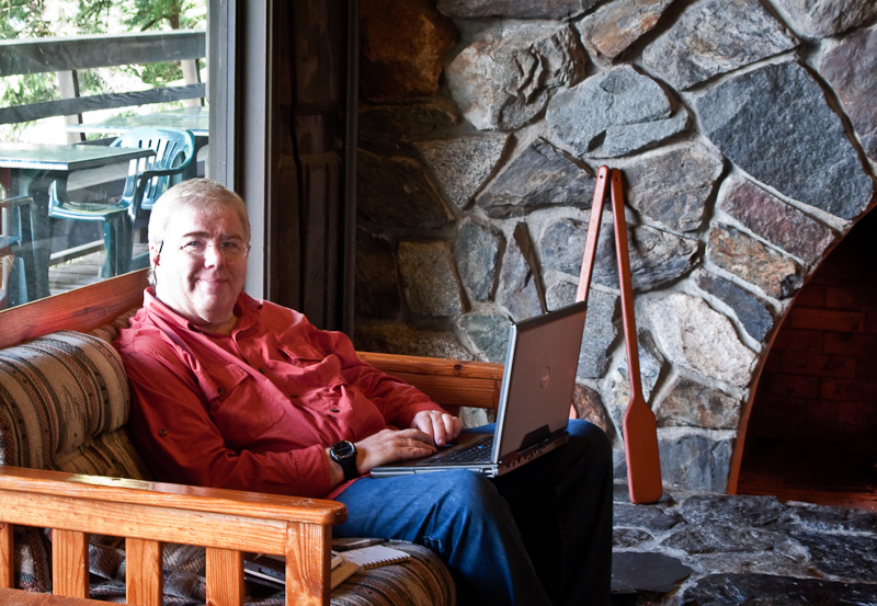
Bob updates this blog while enjoying the comforts of the lodge at Barlett Cove

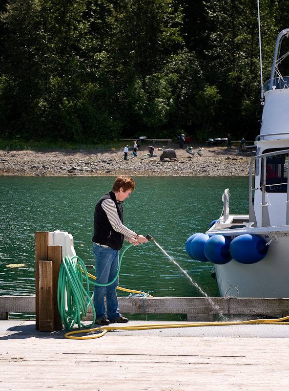
Karen investigates the water supply on the docks

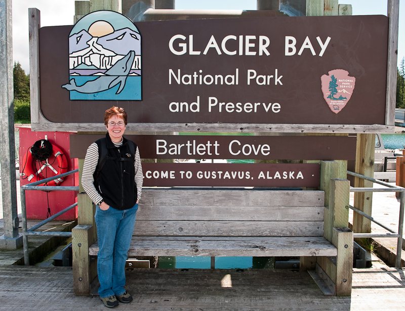
One of those "I was there" photos

"I was there too"

The docks at Bartlett Cove. Only the U.S. Government could build docks like this.

Bog, wide and you can drive a car on the docks. The pilings look as if there are designed for cruise ships.

We headed over to our briefing at 2pm with just one other boater. We saw a nice video (Taken on a sunny day or two – rare!) and reviewed the rules before deciding to depart for destinations north. To go north of Bartlett Cove, you need to pass through Sitakady Narrows, which can run at 7kts. That’s great if it’s in your favor and not so great if it’s against you. By leaving at 3, we were able to ride the last of the favorable current and not have to buck much adverse current. We saw lots of humpbacks along the way, and took a detour by South Marble Island (obeying the distance requirements, of course!) to see the sea lion haul out, which was quite something (and quite noisy). This haul out is full of immature males who apparently spend their time practicing how to be an alpha male, posturing and snorting and shoving each other around. It’s quite amusing to watch. We also saw a few puffins, but Bob wasn’t able to get a photo of them, so we will have to return on our way out of the bay. We also saw a large cruise ship departing the Bay, the Diamond Princess. It looked kind of like the Starship Enterprise, at least on the top deck. I can’t imagine that the passengers on the Princess get the same kind of wilderness experience that we do!

When the sun comes out, everying is beautiful!

Looking back to the docks and lodge at Bartlett Cove

Glacier Bay opens up before the bow of Arctic Star

Our original anchorage destination was North Fingers Cove, but given the sunshine and the decent timing, we changed it to Snug Cove in Geike Inlet. It was really beautiful and very alpine looking. The entrance was small and there was a long narrow channel to the head, which was a great bear beach with a fresh water stream and several waterfalls.  While definitely peaceful and well protected, the anchorage was deep, and we ended up in about 70 feet of water with a well-set anchor.

The sunset approaches in Snug Cove

By the time all was said and done, we had enough energy for me to make my famous Tuna Melts and enjoy a left over piece or two of cornbread…we enjoyed the sun as we wound down for the evening.

Dundas Bay

Today was a lazy day. The wind and rain continued to dominate today’s weather. I slept in until eight after awaking at 12:30am and 3:30am to the sounds of Arctic Star resetting itself with the wind and current. At 3:30am, the current was holding our stern to the wind, so the waves slapped the boat right at our heads in the bed. Lots of noise, but the anchor was holding and all was well. Getting back to sleep was a challenge as the false dawn was making the cabin bright. Karen slept through it all. Karen kept an eye out for the brown sow with her cubs as she consumed more books on her Nook. I concentrated on finishing up as many blog entries as I could, as we are supposed to have internet access at Bartlett Cove Lodge in Glacier Bay tomorrow.  We did see a large group of surf scoters with their distinctive orange beaks tooling around all day in phalanx formation, but we never could see what they were actually trying to accomplish.
All day the weather was a tease. The clouds would briefly open and let a minute amount of blue show and then follow that up swiftly with rain. This pattern repeated itself all day. Our theory has become that these enforced rest days are all part of the Alaska program. It leaves us with more energy for the dry and/or sunny days. To pass the time during the rain, we watched the movie "Invictus". Karen liked it a lot; I thought it was good but a bit slow.

The clouds adn the sun play tug-of-war in the heavens

Even the “Alaskan Reality Radio”, VHF 16, was silent today; no drama, no gossip. So we turned in and hoped tomorrow would dawn sunny and bright.

Elfin Cove to Dundas Bay

It is only 19 miles today over to Dundas Bay. Nevertheless, we were up and ready to go after a couple of days in harbor.   Before we could make the to walk up to Fisherman’s Inn to pick up our fish from yesterday, Mike and Gary were knocking on our hull with a box containing 35 pounds of fish, vacuumed bagged and frozen. Our neighbors who rafted to us last night had departed an hour earlier, so we were good to cast off. The weather was low, but with good visibility below. As we made the turn into North Inian Pass, we found the waters disturbed and confused. There would be areas that appeared to bubble as if they were about to boil. Right next to them, the seas were mill pond flat. Our speed over ground would go from 7.5 knots to 13.5 and back. Nothing dangerous, just interesting and a little more work for the helmsman.
From the entrance to Dundas Bay to our anchorage at the southwest bay is a very interesting run with a mix of little islands, massive mud flats and wide, then narrowing channels. The visibility was down a bit, and we passed three boats outbound as we entered deeper into Dundas. We contacted the first vessel, Nordic Star, a North Pacific 52, and exchanged weather reports. They wanted to know what the pass was like and we inquired about the inner bay at Dundas.

I love how the  fog plays with the islands

We eventually negotiated our way to our anchorage. It is a large bay, but most of it is too shallow to anchor. We made a circle to define our anchor area with at least 20 feet of water at the current tide stage. That would leave us at least 10 feet at low tide which was scheduled to be at minus 2.5 feet this evening.

The anchor set well, but with the winds freshening, we added the bridle and dumped another 50 feet of chain over the side. We held our ground, but made a lot of noise during the change from ebb to flood as the rode moved across the bottom. A small price to pay for knowing your boat was not going to travel outside your planned swing area.

The wind and rain was not conducive to dinghy or kayak exploration, so I set about to make bread and a large pot of chowder. I added Dungeness crab and our fresh caught halibut to the concoction. It will make dinner tonight along with some fresh baked cornbread, and will also provide multiple warm and hearty lunches on those cold days.

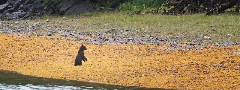
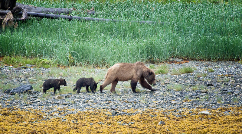
As I was preparing dinner, Karen called out that she spotted either a big brown bear or a Bison. Given our latitude and longitude, I concluded that a brown bear was the likely species she was seeing. The added bonus was the bear was a sow with two cubs close on her heels. We watched for an hour as they made their way along the beach with sojourns back and forth into woods. Eventually, they grazed their way to the beach nearest our boat-- what a treat; especially when the bear cubs played with each other.

Mom calls her cubs down to the beach

"Where did they go?"

Bears spend a lot of time with their heads down grazing

Halibut, crab and corn chowder with fresh-baked cornbread

Elfin Cove

(Karen writes)  We spent a pleasant rest of the night on the docks at Elfin. The naked man did not reappear, and it did take us a while to go back to sleep. We were up about 6:30 to be ready to meet Captain Gary from Fishmasters at the inn. It was a lovely morning – we could see the mountains in the distance that had been enshrouded with fog the previous day. They were snow covered, but only visible up to a certain height, where clouds hugged them and covered up their craggy tops.
Fishmasters is a nice lodge. The kitchen and living area has a fabulous view and the décor is really nice. The comfy couches were tempting, but fish were waiting for us.


Leaving Elfin Cove in hunt of halibut

These dedicated fishing boats get to the hot spots fast and make a great, open, stable platform from which to fish

Captain Gary is from Petersburg, but certainly knew where to take us for halibut near Elfin Cove! It was a glassy, calm morning and we first headed for Earl Cove, past “million dollar rock” that clearly claims expensive boats at anything other than low water. Unlike yesterday, the currents were fairly tame, and Earl Cove was quiet. We saw sea lions fishing and a whale breaching and swimming about as we jigged for halibut.

A beautiful morning for fishing

Bob had a strong desire to go halibut fishing. We’venever done it before, so it was a new experience. Compared to salmon fishing, it’s a lot of work!  You anchor in about 150 feet of water (give or take) and use a rod with a long line and a weight at the bottom. Baited with grayling and herring, you drop the line until it hits bottom and then “jig” it off the bottom to capture the attention of the halibut. Oh yes – there’s also a chum bag dropped off the boat to stink up the bottom and attract the fish.

The jigging is definitely an upper body workout, at least for me!  We had some nibbles, but not too much action. However, it was so pretty out and there was so much to watch (whales, porpoise, etc) that we didn’t mind too much. Still, after about 2 hours, we decided to move onto greener pastures.

Karen and Captain Gary discuss fishing strategies

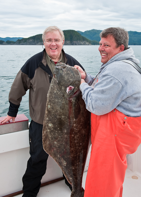
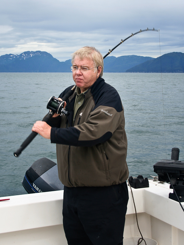
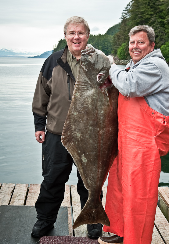
We can’t tell you where we went next or we’d have to kill you (or Captain Gary would). Needless to say, we headed out to lumpier waters and found a sweet spot where Bob hooked a 60lb (54”) halibut. Watching him fight to pull that fish in was amazing. He was whipped when it was done. Once Bob got it close to the boat, Captain Gary harpooned the halibut to make certain it did not escape as he worked it in to the boat.  It was quite an undertaking.

Captain Gary was having a much fun as Bob

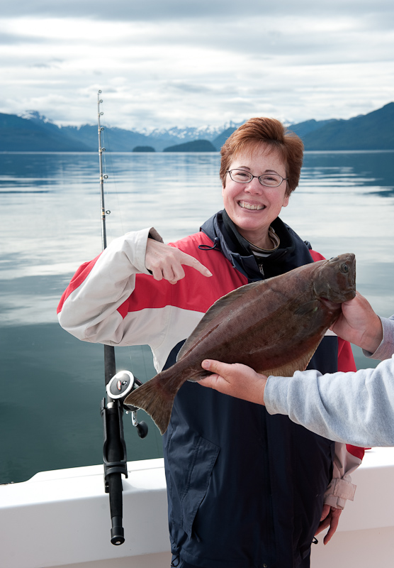
We kept fishing and caught 5 quillback (we released one as we had reached our limit of 2 each) and I caught a China rockfish (yellow and black). I also caught a 10lb halibut, and it was enough of a workout to reel that one in that I needed help from Bob. We also just got the fish in the boat before the sea lion made an appearance in hopes of snagging my fish. This sea lion was really brave, he clearly associates small boats with yummy halibut or salmon, and he was circling us like a shark, waiting to snag his lunch. Luckily, he was skunked, or we’d have been really disappointed!

Bob tries out the lazy man's way to jig after his workout  with the 60 lb'er

Look at my fish!

We also saw a small group of Orca while we were at the undisclosed halibut hole. This was the first time we’d seen Orca in Alaska, so that was a nice and unexpected bonus of our trip.

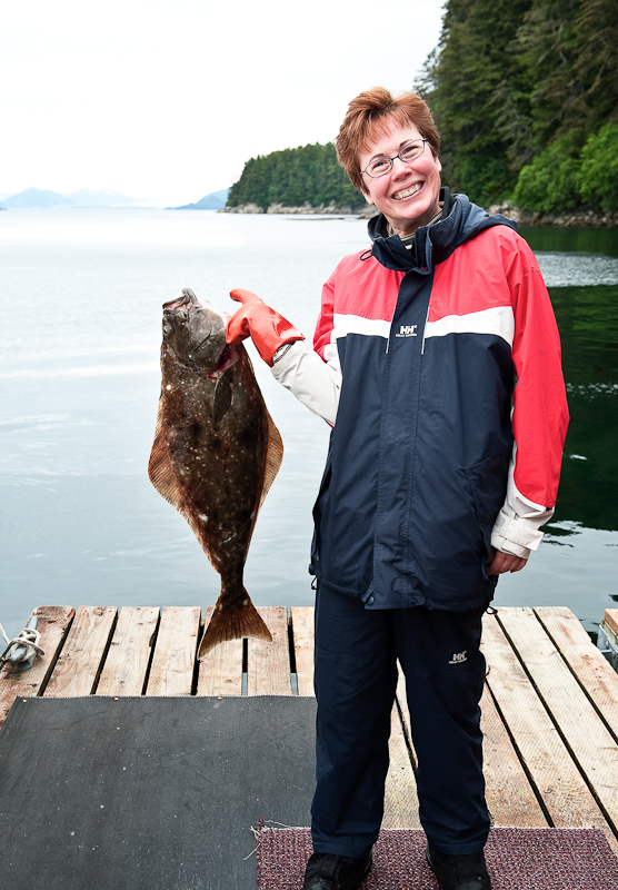
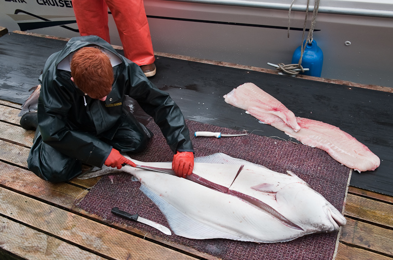
Back at Elfin Cove, Mark and Gary took good care of us. The fish were filleted by the red-headed twin boys working at Fishmasters for the summer. They gave me the ear bones from Bob’s halibut and one of the Rockfish – people make earrings out of them and I know just the right person in Philadelphia to do that for me! They are small, white, irregular shaped bones, about the size of your small fingernail.

Big Fish

Bigger Fish

The staff at Fishermaster's Inn make quick work of turning our catch into fillets

Fishmasters brought over halibut filets for our dinner – with one fillet from Bob’s big fish and one from my small one, so we could do a taste test and see which we preferred. The rest was portioned out nicely and put into vacuum bags and frozen for us, along with some Rockfish fillets. Even after eating a big chunk for dinner and giving Captain Gary some, we ended up with 35 pounds of FISH to eat!

We went into town and did a little provisioning at the cute general store, and then walked back to the boat and ran into Gary, who made us a CD with pictures from our fishing trip and also some he has taken so far this season of the area. What a great thing to do! We had beer aboard Arctic Starand chatted for a while before he headed back to Fishermans. We also watched several float planes come and go as well as the pilot boat, Endeavor. Apparently ships not of US registry have to have these pilots aboard to “guide” them out, and they get to the cruise ships and back using the “pilot boat”. Seems like a sweet deal – the pilot boat drops them on the Elfin Cove dock and then a float plane picks them up and takes them back to their base in Juneau? Oh yes…the dock was full of fishing vessels, we were the only pleasure boat today, and then Go Fish, a Uniflite pleasure boat from Juneau owned by some really nice Texans rafted alongside for the evening.

All in all, a great day—and the halibut was superb. Personally, I liked my little fish best, but maybe that was pride of ownership?

Hoonah to Elfin Cove

Forty five miles to Elfin Cove. That was our plan for today. After yesterday’s perfect sunny weather, we did not know what to expect today. The forecast was noncommittal on whether or not we would have sun.

The sun greets us as we follow a fishing boat past the Hoonah breakwater

Outside the breakwater is all of Hoonah's working harbor

There's a place for everybody at Hoonah

The fuel dock is on the right of the photo

Ferry dock on the left. Hoonah breakwater on the far right.

As it turned out we were blessed with sunshine and unlimited visibility. All of a sudden there were massive snow-capped mountain ranges in sight on all quadrants. We enjoyed a fair passage with winds on the bow at 10-15 and current running in our favor.

The quintessential S.E. Alaskan "skyline"

Two boats left Hoonah at about the same time as we did and trailed us up to Point Adolphus, after which they headed to Glacier Bay. We saw a few humpback whales in route but as we approached Point Adolphus, we spotted many in the distance making themselves known with blows and splashes.

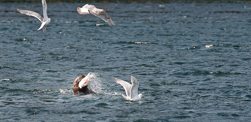
Point Adolphus is known for its whales and we hoped it would not disappoint today. A few boats were drifting around the point and we joined the fleet. While we saw six or so animals feeding leisurely, they were not very showy. After 45 minutes we continued on, although I got a great picture of a sea lion chomping on some fish.

A sea loin enjoys a lunch of fresh salmon

Our route took us through North Inian Pass, which is known as a place of winds and disturbed seas. The seas were a little confused as they spilled past the islands. The most interesting phenomenon was the clouds that cascaded off the islands and formed a fog bank as they reached the water. We had sun on the boat, blue skies in one direction and fog in the other. Alaska can certainly dish up some interesting weather combinations.

Elfin Cove, our destination, is a unique harbor. The public docks are outside the cove proper. There is a 100 foot long public dock with no services. We managed to get the very last spot, so we felt ourselves very lucky as there are not many alternative anchorages in the area. People on the dock grabbed our lines and made us feel welcome.

Elfin Cove is all about fishing. The inner cove is ringed with fishing lodges and homes all connected by a boardwalk. There is all manner of buildings: lodges, houses, gift shops, a post office, a salmon smoker and much I am certain we missed. The big news was that the Cove Lodge and the Coho Grill burned to the ground June 19. The remains of the buildings were quite a sight and one can only imagine the fear and panic fire brings when every building is so close to the other. We heard that the blaze occurred in the early morning and that everyone pitched in to help keep the rest of the town from going up in flames.

Next to the public dock sits a large fuel dock and a dock for the fish buying boats. Water and fuel can be had at this dock (unlike in Tenakee and Hoonah, it’s a floating dock, which is much nicer for us). I’m certain it exists mostly to serve the fishermen who come in to sell their catch to the fish buyer and then continue back out to sea.

With at least four fishing lodges that I counted, there was a lot of activity in the afternoon. Four seaplanes came and went, dropping off and picking up guests of the lodges. The lodge boats came in with their catches of the day. And because the King Salmon fishery was closing tonight at 11:59 tonight, the fish buying boat (St. Jude) was active all night with its cranes and deckhands offloading salmon and loading ice back into the holds of the working boats. Karen and I enjoyed watching the action, as it wasn’t something we’d seen before. The St. Jude worked through the night until the closing and midnight.

We made plans to go halibut fishing through Dan of Elfin Cove Lodge. Dan’s lodge was totally booked, but he hooked us up with Fishmasters (the neighboring lodge) and Mike and Captain Gary. Mike of Fishmasters was great – we made our plans for a half day of Halibut Fishing, and he walked us up to the General Store (that we hadn’t found on our earlier walk!) so I could buy a fishing license.  We set our departure time for 8am, and hit the sack by 10.

At 3:30am, we heard a loud knock on the outside of the aft cabin. Typically, if anchored, that means you’ve dragged into someone else. In this case, being that we were on a dock, we thought it meant that someone had arrived (yes, it’s so light out at 3:30am you could easily move around) and needed to raft to us. I got up to help, only to find that there was a man on our boat asking where the breakfast he had heard about was. I told him it wasn’t on our boat, which seemed to disappoint him a good deal. Did I mention he was stark naked? Karen couldn’t stop giggling when I came back and told her. Welcome to Elfin Cove!

North Bight

Today was a relaxation day. The weather was low and wet. While we talked about taking the kayaks out, the wind and rain never let up enough for us to venture out. We spent the day looking for bear to no avail. Karen read another five books on her Nook and I completed a few more blog posts. We did spot a humpback feeding up at the entrance of the Bight, just northwest of Chimney Island. Perhaps the highlight of the day was more “Alaskan Reality TV”, or should I say “Alaskan Reality radio”. We would keep the VHF on channel 16 and alternate between listening to the activities on the “Hoonah Harbormaster” channel and the “North Bight Neighborhood” channel.

The harbor at Hoonah is fairly active, so there are lots of comings and goings to listen to. You get a feeling of the personality of the harbor and the people who come and go. We did find out that a cruise ship was in town today. That was disappointing because we thought it unlikely there would be one in town tomorrow when we wanted to go see what goes on at Icy Strait Point, the purpose-built cruise ship “destination resort” at Hoonah’s Icy Strait Point.

As for our neighbors in the North Bight, they would exchange tidbits about how the crabbing is going, or maybe do some trip planning. “Where are you going next”, or “Have you ever been to”, or “Aren’t we lucky to be out here doing this” are the topics for discussion. It’s a great way to pick up some local knowledge.

The big news came later in the day, when we found out that one of the boats had lost the generator section on his new gen-set. They took one of the tenders and go to Hoonah to get a cell phone signal so they could call the dealer to arrange for a repair. The good news was that the dealer was making arrangements to get it fixed under warranty. The bad news was that they were going to have to go to Juneau for the repairs. That’s a lot of backtracking.

Sometimes you feel a little guilty when you’re out in this wonderful wilderness and you stay inside the boat all day. Other times you realize you cannot do it all and a “day off” recharges the batteries for future adventures. Today was definitely a “recharge day” and though we were a little stir crazy, we had fun nonetheless.

Dinner on a rainy day

Pavlof Harbor to Neka Bay

Today we have a long trip planned. It’s 46 nautical miles from Pavlof Harbor to Neka Bay. One of the characteristics of Alaska is there are not a lot of anchorages. Therefore some legs, like this one, are such that the “next” suitable anchorage is 5-6 hours away. We try to keep these long days to a minimum, but sometimes you cannot avoid them.

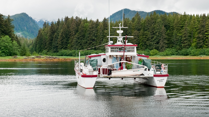
We leave Swamp Fox in Pavlof Harbor

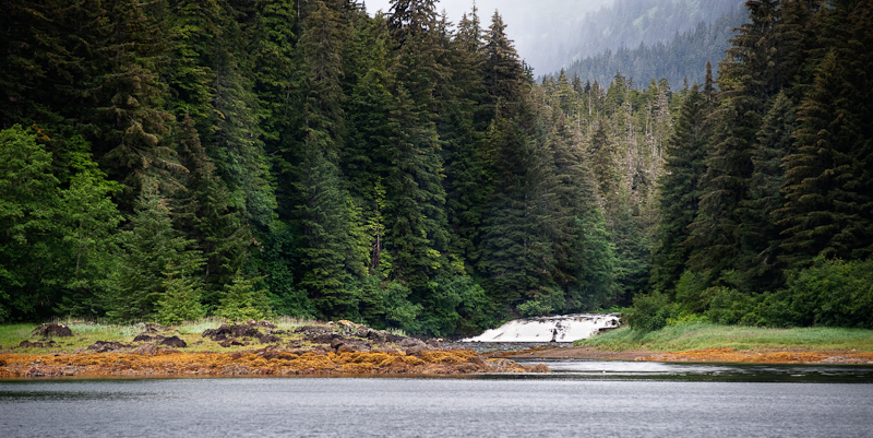
The waterfall on the river that feeds into Pavlof Harbor

The wind was as forecast from the south, and our heading was north, so it was a comfortable ride. We passed a couple of boats heading in the opposite direction and they were bouncing their way into the waves.

After passing Point Augusta, we found a small fleet of seiners. Not nearly are large as the last fleet we negotiated, this was a less complicated navigation challenge. We also passed a small group of pleasure boats fishing. Some trolling for salmon, the other were stopped and fishing deep for halibut.


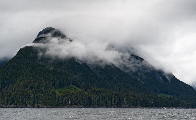
I l0ve to watch play amoung the mountain tops

A few humpbacks made an appearance but they were mostly just traveling by and not feeding ,so there was no reason to stop and observe.

Karen and I traded helm duty on a two hour shift schedule. This makes the passage much easier for each person.  However, when things get busy,as when transiting the seiner fleet, we both are at the helm to maximize the number of eyes.

Our course to Neka Bay takes us right past the town of Hoonah, so we took a small detour into the harbor to get a preview. We plan to return there in a day or so to partake of the reported fabulous Halibut pizza.

The first thing you notice as you round the point into Port Frederick is “Icy Strait Point”. This was the site of an old cannery operation in Hoonah’s heyday. The cruise ship industry has created a large recreation area out of the operation. The passengers are entertained with tours, native displays, long walks to town and around the point and, I’m sure, other opportunities to part with additional cash. Normally I do not like having a cruise ship in port when I am, but as this operation is only open when the cruise ship arrives, I hope they are at Hoonah when we stop there. I would like to play tourist and see what it is all about.

Icy Strait Point

An hour after leaving Hoonah, we approached Neka Bay. There are three fingers that make up Neka Bay. The main bay is too large and open for us. The south bight looks just perfect for us, but there is not enough published information for us to try the narrow and shallow entrance narrows. That leaves the North Bight as our destination.

Six boats were already there anchored in four rafts.  The rafts were dispersed along the north shore leaving us a nice spot at the head. All these bays are lined with crab pots, so the exact location of our anchor stop was centered among the pots ringing the head of the bight.

Our neighbors in North Bight

The bight received one more boat a after we arrived. The sailboat that had been shadowing us for the half of our trip anchored in the small indent on the south shore.

To satisfy our curiosity about the South Bight as a possible anchorage, we launched the dinghy despite it being cloudy and misty, and proceeded to work our way into the bight. The South Bight is really beautiful. Protected on all sides with steep mountains all around and fed by numerous streams. There is even a waterfall on the south side. It was high tide, and we were able to work our way over the drying falls at the head and explore the mouth of the stream in the northwest corner.

As we reversed course, we spotted the dinghy from the sailboat working its way toward us. I steered a course to them and we exchanged greetings. They asked if we had seen any bears. “No” was our reply, but they had seen a couple of cubs playing in the North Bight when they entered earlier.

Just before we worked our way out of the South Bight, we noticed what was either a very large black boulder or a very large opening to a cave about 200 feet up the side on the mountain to the south. An eagle was flying in the vicinity of the cave, but didn’t enter.

We would love to come back here, but without a sounder on our dinghy, we did not have a chance to take depth readings. However, my assessment is that with a high tide of 6 feet or more, I would make an attempt to enter. There is a 5 fathom hole plotted on the charts that would make a great anchorage. Something to look forward to on our next visit. If any of our readers have more information on the South Bight of Neka, let us know and we’ll share it on this site.

We continued our exploration by circumnavigating the North Bight. This area is also fed by multiple streams and is flanked all-around by what appear to be perfect “bear beaches”. Karen has worn out her eyes today searching for the elusive critters. I think we’re a little too early for the salmon runs and the bears are just not out and about on the beaches.

The sun tries to make a comback in North Bight

I multitasked during dinner preparation. I made orange-glazed salmon with rosemary potatoes and prepared curried chicken salad so we had lunch for tomorrow ready to go. A little extra work makes for a more leisurely day to follow. We hoped that the other boats might set off fireworks, but we didn’t see any preparations, so we headed off to bed.

The clouds fight back and strat to dominate to heavens again

Tenakee Springs to Pavlof Harbor

We were back at the Party Time Bakery precisely at 8 am when the doors opened. They promised me pancakes today and that was what I had on my mind. Our timing was mostly driven by the fact that the fuel docks open at 10 and we wanted to be there when they turned on the pumps, because the tide would be going down and we wanted all the extra “tide” we could get to avoid the aforementioned bolts and stuff. Karen had the same egg, ham and cheddar breakfast sandwich and my pancakes were just what the doctored ordered for a rainy morning. I ordered a bowl of the corn chowder to go and Karen took a piece of chocolate torte back to the boat. We also made a quick 2nd stop at the Mercantile to grab a few more items.

Arctic Star getting ready to cast of from Tenakee Springs

Tenakee Springs docks sits behind a floating breakwater, but the fetch can still get in.

The fuel docks at Tenakee are not floating. The fuel hose is dropped over the side of the pier. Depending on the tide, that can be a long drop. Opening time, 10am, was only two hours from low tide so not only was the distance from the pier to our decks on the order of 20 feet, but the pilings that are revealed at low tide are barnacle-encrusted with a few protruding metal bits exposed.

In anticipation of the hazards on the pilings, we lined the port side of Arctic Star with every fender (9) on board. As it turned, out the wind was such that we were held off the pilings for most of the 45 minutes it took to take on 400 gallons of #2 diesel.


Bob fuels Arctic Star in the rain

Eve, the fuel mistress at Tenakee, is a doll and helped us through the process, calling out target fuel quantities as we approached our limit. Luckily, we got to the fuel docks just at 10am, and I felt sorry for the boats that were hovering just off the docks as we took on our large load of fuel. However, the $1400 sale probably made the day for the economics of this small town.

I had been admiring the hoodie sweatshirts worn by the staff of Alaskan Seaplanes during our stay at Tenakee. At the Bakery, one of the staff came in for coffee, so I asked if they sold the hoodies. They did and both Karen and I came away with a practical reminder of our pleasant stay at Tenakee.

As you walk the “path/road/main street” on Tenakee, you’ll pass a number of resident dogs lying along the path, each in front of their masters’ doors. Most of they are grey haired older dogs, and most are friendly and are happy if you reach down and pet them because getting up is almost too much for these senior citizens. On our stroll back to the docks, I noticed a large fellow I had seen a couple of times. He looked just like the others I have petted, large, old, part wolf and a bit forlorn. I bent down and as I started to let him give me a smell, he tried to take a bite out of my hand. I was quicker than he was as he bared his teeth and growled, but he was not able to muster the energy to stand and pursue the attack.

We were cold and wet from being out in the rain, as we left the boat for breakfast and then spent the whole time on deck for the fueling process. Once the fenders were stowed and we were underway to Pavlof, we turned up the boat’s heat in an attempt to feel warm and dry.

Pavlof Harbor is a short (15 mile) trip to the northwest of Tenekee, in  Freshwater Bay. We did spot a humpback making his way SE as we rounded the point into Freshwater Bay. Pavlof is known for bear, so that influenced our decision to make it an overnight stop. We arrived at low tide, perfect bear viewing time. However, we never did see any of these elusive critters. There is also an interesting waterfall at the head of the stream that runs into the bay. Normally we would launch the dinghy and go exploring, but the previous time we spent out in the rain earlier today dampened our desire to brave the wet and cold yet again.

As I was preparing dinner, I spotted Northern Songapproaching the Harbor. I made a call to the bridge and we exchanged greetings with Mike and a few updates on travels and bear sightings. We had not talked with them since we visited the boat in Port McNeill last September.

Northern Song sits in Pavlof Harbor

The rain finally stopped as we went to bed and the harbor was flat. About 2:30am, I was awaked by the sound of the wind blowing. I made my way to the helm and checked the wind direction and speed. It was south at 10 to 12 knots. We were holding well and the winds were as forecast, so it was back to bed.

Tenakee Springs

(Karen writes) We awoke to no rain, which is always a good thing. It’s certainly not sunny, but it’s clear enough and that makes for a great day in Alaska. We were ready to head off to breakfast when Sally on The Spirit of Baltonext to us came out on her aft cockpit and we chatted briefly. She invited us over to see the boat that she and Dan personally built…and we’re never ones to turn down an opportunity to see the inside of these custom boats. Boy, it was lovely. Obviously built with care and attention to detail, she was fitted with, granite counter tops and arched doorways and wonderful décor. I really liked their boat a lot.

We decided to walk up together (including Dan) to town…they wanted to explore and we wanted breakfast. The Party Time Bakery did NOT disappoint. What a great place! Bob’s biscuits and gravy and sausage were good, and my fried egg sandwich on homemade bread with ham and cheddar cheese was amazing. Bottomless cups of coffee, great artwork to peruse…what a find. Sally and Dan came back chatted a while before they headed back to the docks, wanting to take their boat across the inlet to fish for halibut. Really nice people.


The Party Time Bakery has something for everyone.

We headed for Snyder Mercantile, the general store. It was decently stocked and we bought some eggs, mayonnaise, and some celery and scallions. Then we headed to the fuel dock, because we desperately need fuel and Tenakee’s fuel dock is open on Saturday when we plan to depart for destinations further north. Eve runs the fuel dock, and we got to see the dock in action. Unlike the fuel docks we’re used to, this one isn’t floating…you tie up to the pilings and they lower down the fuel hose and a bucket for you to put your credit card in. The pilings are full of bolts and mess, and they do a good job of dinging your gelcoat if you are unlucky or if you fuel at low tide. Apparently, in a blow, it’s best to delay fueling to when the wind dies down. Here’s hoping that tomorrow will be calm…even if it’s forecasted to rain all day.

It's a long way down at the fuel dock

Eve is the queen of the fuel dock. She works hard and does a great job.

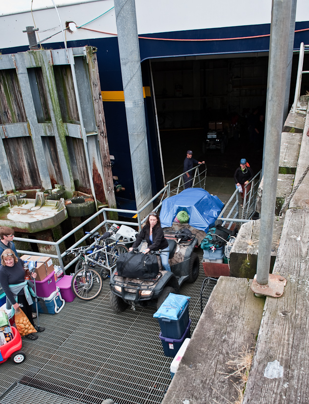
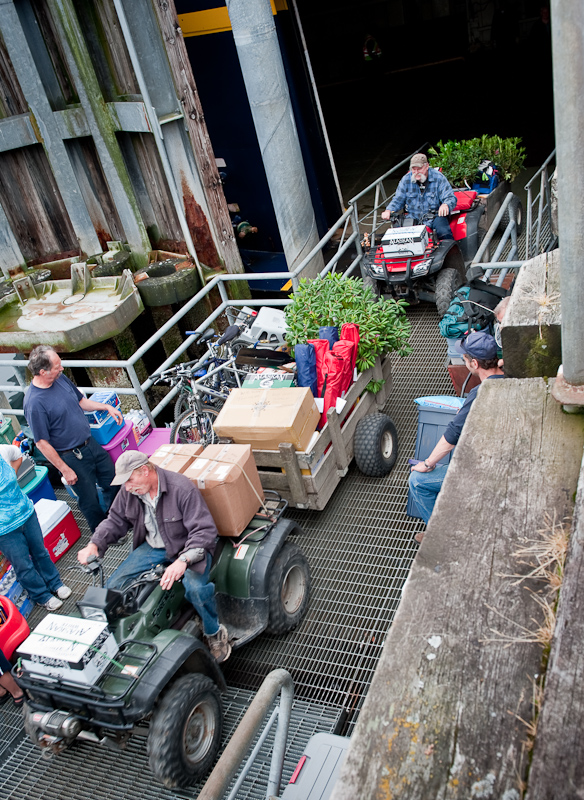
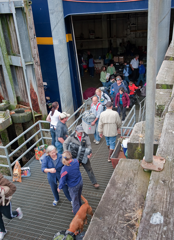
We learned that the ferry (the Alaskan Marine Highway) was coming today about 2:30, and we decided to walk to town to watch the ferry load and unload. We had heard that somewhere between 35 and 70 people were headed to Tenakee. We couldn’t imagine where they all would go, so we wanted to see the spectacle for ourselves.

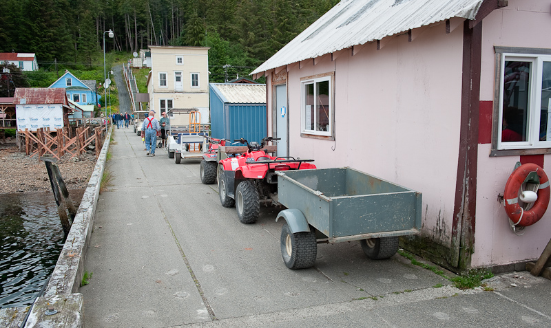
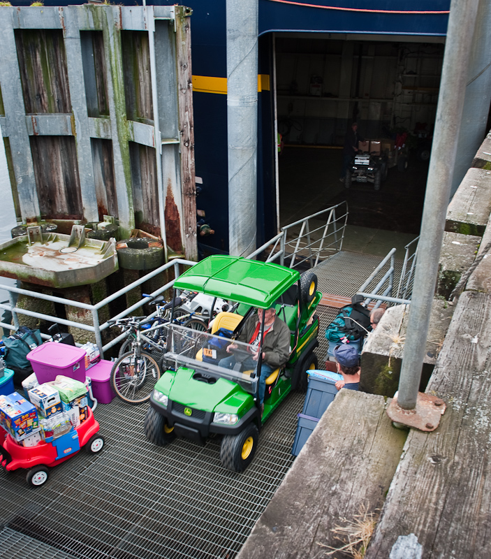
(Bob writes)What a spectacle it was. The large hatch opens on the port bow of the ferry and people pour in to get their “Stuff” as the passengers depart with their “stuff”. The pictures tell the story, but there is all manner of supplies. Pets, ATV vehicles, fishing rods, jet skis and guitars; whatever will make the summer more enjoyable. People have to make multiple trips back into the hold to get even more “stuff”, so the traffic is two way and chaotic. How the kids and pets survive with ATVs pulling three months worth of beer and snacks up the steep incline of the loading ramp, I’ll never know. The pandemonium lasted for 30 minutes. Right on time at 3pm, the ferry pulled away with only six new passengers onboard.

Everyones line ups to unload the ferry

The parade begins.

Everything you need for Summer in one convenient package.

Proud of his brand new John Deer.

Everything and anything comes out of the hold of the LeConte Ferry

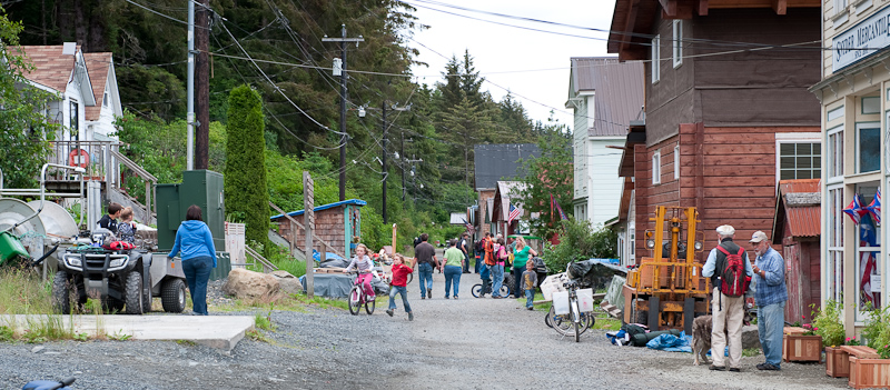
Tenakee looks downright crowed after the ferry's arrival

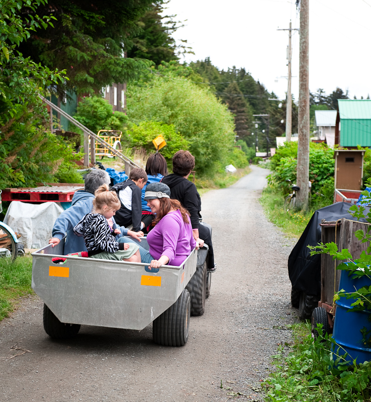
Perferred method of trnsportation in Tenakee Springs

After our entertaining sojourn into the reality of life in remote Tenakee Springs, we strolled back to Arctic Star. We spent the afternoon planning the next few days. Our schedule has become very fluid and we needed to firm up at lest the next two days so I would know where to plot our course.

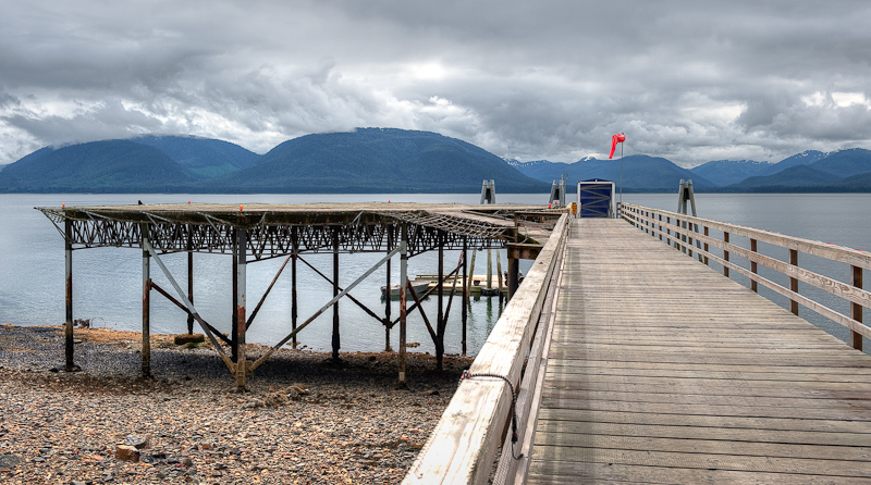
The helicopter pad (for emergencies) and the seaplane dock at the end at water level.

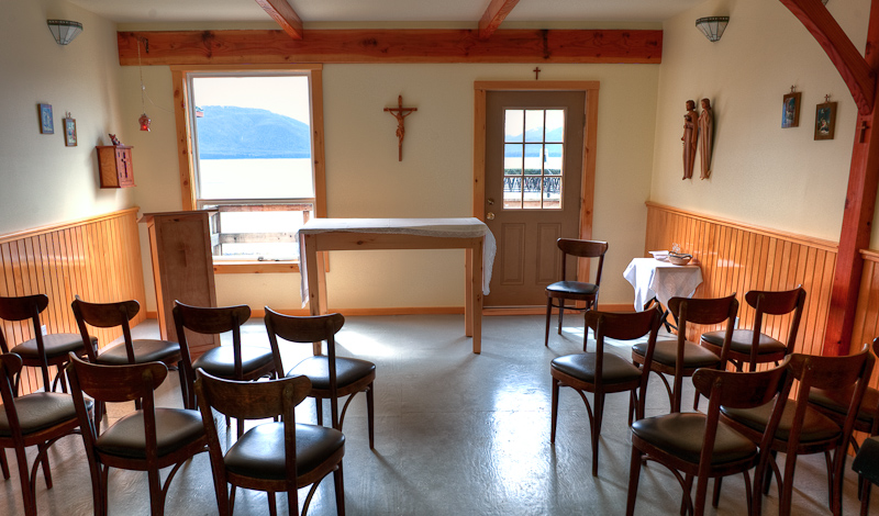
Tenakee's Chapel

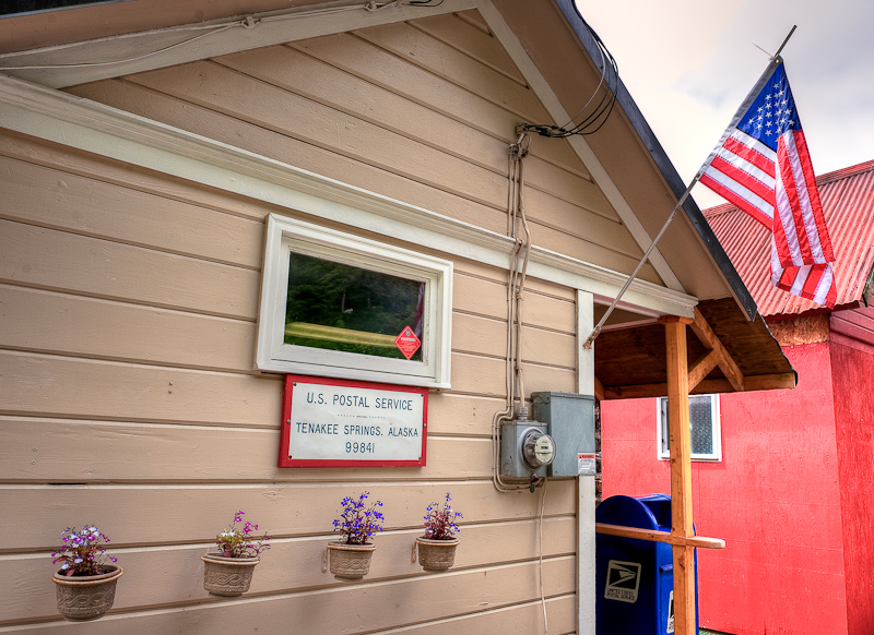
Tenakee Springs Post Office

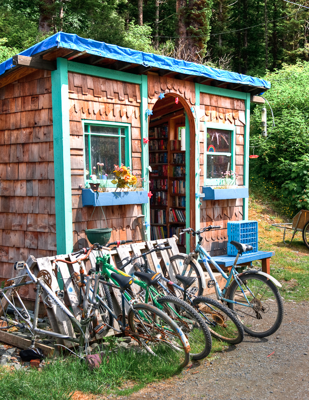
The "Bus Stop" where you can exchange things you don't want for things you do.

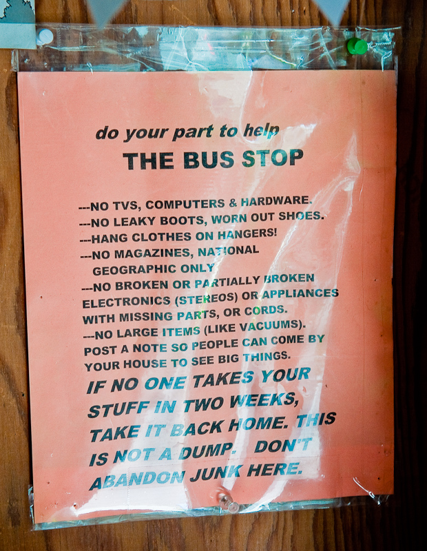
The rules of the "Bus Stop"

After walking a couple of miles to and from Tenakee and the docks over the last two days, I'm jealous!

Our friend's house in Tenakee; it's one the uphill side of the street.

Tenakee is a dog's town, but Karen can always find a cat no matter where we go.

The docks at Tenakee viwewd from the "road" to town.

The view from the deck of a Tenakee home looking out across the channel.

Tenakee Springs viwed from the docks

I made Karen’s favorite maple-glazed curried sweet potatoes accompanied by mustard-orange glazed pork tenderloin. It satisfied cravings and we spent a quiet evening onboard, checking out the comings and goings on the docks of Tenakee Springs.

Ell Cove to Tenakee Springs

(Karen writes) We awoke to grey skies and lingering drizzle. We had decided the night before that we were going to dinghy out to the white beach and explore it a bit before we departed for Tenakee Springs. Sometime between breakfast and launching the dinghy, a green-canvased Grand Banks named Junie Moon dropped anchor in Adirondack’sold spot. We waved as we dinghied out to see what we could see. What did we see? A beehive of seiners milling about outside of Ell Cove. I guess we know now where our two cove-mates were headed at the crack of dawn! We watched them a bit as we headed for the beach, which abuts the Kasnyku waterfall.

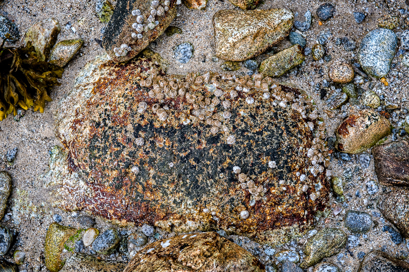
It really is an amazing beach – long and wide and truly made of white sand, rather than the typical “Rock” beach you see in Alaska and British Columbia. We easily beached the dinghy and had a great walk, beachcombing and looking at a wide variety of barnacles and mussels and all sorts of things that are uncovered at low tide.

One of the best "beaches" we walked on this trip. Lots of things to explore, both large and small

Life clings on to everything

Beauty on the Beach

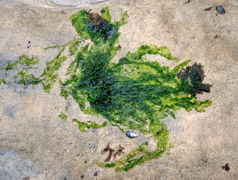
Rorschach test in the sand. Anyone esle see a chicken. 

Nature's pallette

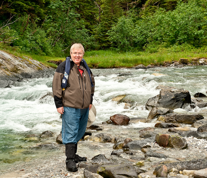
Bob poses in front of the river

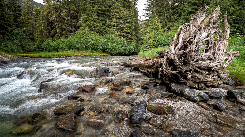
The river rushes out to the sea

Fresh water feeds to the saltwater ocean

Green grasses trive near the river's edge.

Karen holds some of her "treasures" collected from the beach

Our dinghy always looks soooo small in Alaska

We walked to the foot of the falls, and definitely felt like we were in bear territory, although we saw none (and that was fine with us). While we were out walking, the Grand Banks that had just arrived in Ell Cove departed. Wonder what he was doing?

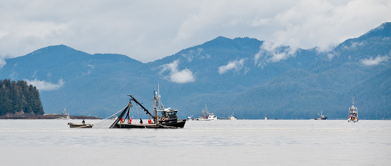
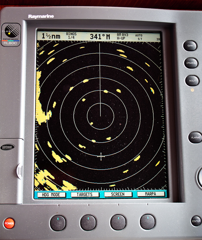
We dinghied back to Arctic Star, and quickly weighed anchor. We had a 46 mile run to Tenakee Springs ahead of us and we wanted to get a move on. However, we didn’t expect to spend about 45 minutes weaving our way through the seiners! At one point, we counted over 60 of them, and Bob tried to take a photo of the radar picture that showed all these targets. 

The fishery if now open and everyone is here

Working our way through the fishing fleet

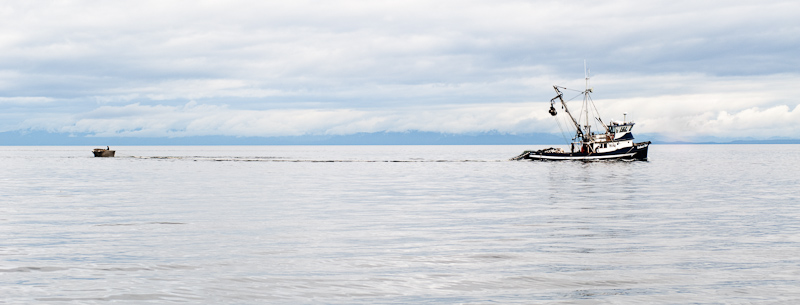
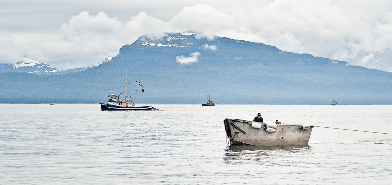
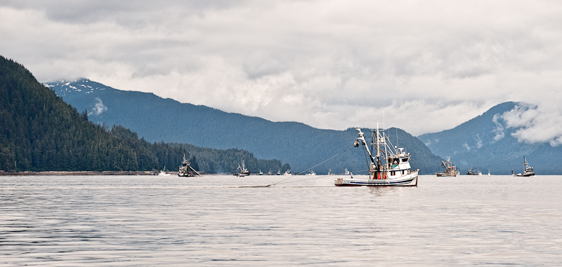
 They were hard at work, these seiners...setting nets by launching their tenders, and then making large (and usually counterclockwise) circles with the big boat to close them, then hauling their catch. It was a like a mad ballet, boats going every which way in various stages of setting and hauling. Just when you thought you had a clear path out, one would start to set their nets. It was fun to see and weave our way through.

 The main ship launches the tender who holds its positions as the seiner pays out the net

 The seiner makes a circles as the net is set. The net tender job looks lonely.

 The ballet of all the seiners manages somehow not to tangle all the nets

While it never got sunny, the drizzle ended and we had a nice ride up to Tenakee. We didn’t see many boats after the seiner spot. Bob and I traded off 2-hour watches to allow the other person some relaxation time. I think it took about 5+ hours to get to Tenakee. We didn’t see any interesting wildlife, just a nice Fleming cruiser headed north and a megayacht, Shadowfaxthat we followed toward Tenakee.

We have never been to Tenakee before, but heard it was a cute little town (35 year round residents) that serves as a summer destination for Juneau-ites.  There was little information about the docks or their orientation, so we just played it by ear. As we approached, we first “parked” on C dock, but after looking at a map of the docks taped to the harbormaster’s “office”, we saw that we were not located on the transient dock, so we moved to the inside of D dock. We were helped with our lines by Ed and his friend from the Pacific Pixie, a Camano Troll. Shortly after we settled in, Ed’s friends arrived on The Spirit of Balto, a custom 52 steel trawler. We helped them with their lines and then decided to go explore Tenakee after paying our moorage to Wendy, the harbormaster, as she walked the docks checking out the new arrivals.

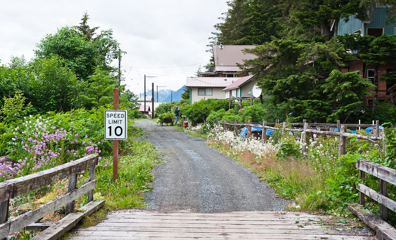
Tenakee has no roads, just a “path” to “town” that allows passage by ATVs or bikes. It is about a ¾ mile or so into the center of town. There are lots of cabins and houses on “Tenakee” avenue.  The views are quite pretty across the inlet to a variety of little hills and mountains. The cabins vary from quite primitive to relatively new construction. It is a really cute place.

Entering Tenakee Springs

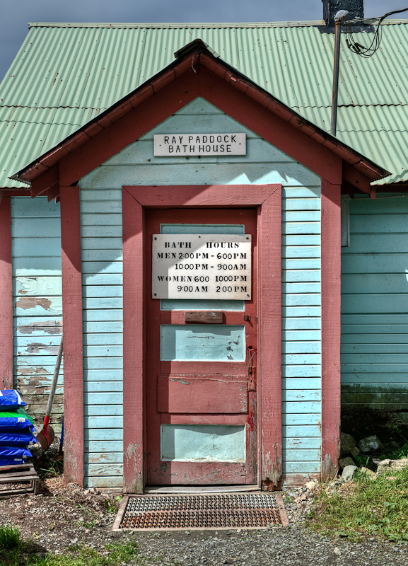
The primary attraction appears to be the sulphur hot springs in the ‘bath house’. Women and men are not allowed to bathe together – hours are clearly posted for men and for women. No bathing suits allowed. I’m sure the warm water would feel amazing. I find it funny that men’s hours are from 10pm to 9am and then again in the afternoon. I wonder if that’s because all the fishermen tie one on late in the evening and go to the springs to sober up?

The gender specific times are clearly posted. No excuses!

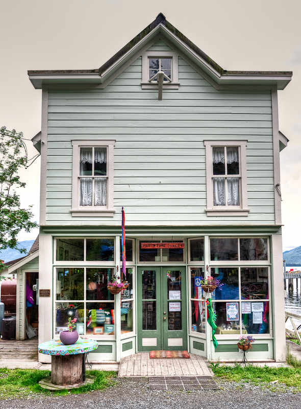
The place in town that attracted my attention the most is the Party Time Bakery, which looked cute. We plan to have breakfast there tomorrow. There is no cell service here, and no internet other than what may be available at the library, which isn’t open until Saturday.

The Party Time Bakery is the hub of Tenakee Springs

The public restroom in Tenakee Springs. Yes, the plumbing work as you suspect.

Karen comes down from inspecting the library at the end of the road.

Everything on the water side of the town is built on pilings

One of the original summer cottages from the early days of Tenakee Springs

Back to the boat, a grilled cheese and Canadian bacon sandwich for dinnner, and off to a good night’s sleep!

Takatz Bay to Ell Cove

(Karen writes) As forecast, we awoke to gray skies and drizzle. We lazed about, thinking about our plans for the day. We had talked about kayaking, but the weather was not inviting. We saw Lee and Dave from Sonata launch the tender to go check their crab pots. On their way, they swung by our boat to hand off a baggie full of freshly caught and cooked prawns. That was extremely nice of them!

As we had a leisurely breakfast, Sonata and Blue C’s weighed anchor and headed off for other destinations. It wasn’t long before the Seiners followed suit. And, we finally found the next episode of Alaska Reality TV. The guys on the sailboat apparently had set up camp on the islet overnight. Why? I have no idea...but 3three guys came out of the woods and hopped into a dinghy, leaving one compatriot on the islet, sitting there with no hat in the rain. Must be a guy thing?

We decided to head a few miles north to Ell Cove, which is supposed to be a well protected and attractive anchorage. It rained the whole way up, and as we entered the cove, we saw a pretty white beach just north that looked worth exploring.  A few kayakers were hauled out on the beach doing exactly that. We thought that after anchoring, we might do the same.

Ell Cove is as advertised…well protected once you turn down the 2nd portion of the “L”. Steep to, there are no views out into Chatham Strait. You kind of feel like you are all alone in the world, as we were the only boat there.

Bob kind of wanted to launch the dinghy, but I was less excited about it, so I decided to read while he decided to make fresh bread. Keeping bread on the boat is tough – it takes up too much room in the freezer and it doesn’t fare well at room temperature. I’ve never had Bob-baked bread, so I was anticipating something pretty darned good. It took TONS of steps to make, but it turned out to be really good. No surprise there!

We really just “vegged out” all day. The rain never let up. About 5pm, the blue seiner Adirondack came in and anchored at the bend in the “L”, with a view outside. We figured that the cove was too small for anyone other than a small boat to join us now that Adirondack was there. By the time we went to bed about 10, it was just the two of us.

I awoke at 11pm to what I thought was the sound of our anchor dragging across rocks. Not a pleasant thing! So I left Bob asleep and went up to the salon to look out…and it was lit up like Manhattan at night. A second seiner had barreled in and dropped the anchor (rather noisily, I might add) behind us. He had all his lights burning, and it was blinding! OK, I knew what that sound was, so I went back to bed.

At 3:48am, more noise and motion woke both Bob and I.  We got up to take a look, and the 2nd seiner departed Ell Cove, with Adirondack already missing. We could only imagine that some fishery opened early that morning and they both were making a beeline for the best fishing spots. Whatever it was, it did not make for a peaceful night’s sleep, so we went back to bed and slept in till about 8.

Red Bluff Bay to Takatz Bay via Warm Springs

The morning dawned to another perfectly clear and delightful weather pattern. We retrieved the anchor and set our course for Warm Springs.

20100629_Red Bluff_Warm Springs_Tekatz_0147_8_9-Edit-Edit-Edit

Checking out the “Cascades” as we leave Red Bluff Bay

20100628_Red Bluff_Warm Springs_Tekatz_0106_7_8_9-Edit

Saying goodbye again to Sonata

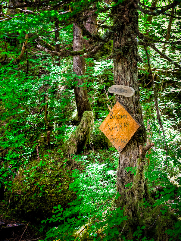
Warm Springs is a bit of a destination stop. The little community of Baranof is built next to a large lake-fed waterfall. It was once a source of hydroelectric power, but apparently that is no longer in service. There are a few homes and a boardwalk that extends to the actual warm springs and then on to Lake Baranof.

20100629_Warm Springs_pano_0351

Waterfall, the homes and the docks at Warm Springs

20100629_Red Bluff_Warm Springs_Tekatz_0205

The docks at Warm Springs

The boardwalk makes for a pleasant half mile walk to the lake. The warm springs are about half that distance. There is a bit of a steep portion of mountain goat climbing just off the boardwalk to get to the springs. However, it is well traveled,and Karen reports that it is worth the exertion, if for nothing else than to see the views.

If you don’t want to bathe in the natural sulfur springs, there is a public bath house just at the head of the docks where the warm springs’ water is piped in. There are three private large tubs with great views of the bay.

20100629_Red Bluff_Warm Springs_Tekatz_0209_10_11

A beautiful view from the Warm Springs bath house

Warm Springs is popular, so finding space on either side of the 200’ float can sometimes be a challenge. The other variable is the seiner fleet, who often tie up awaiting the opening of their fishery. Today that was the case. The dock was full of rafted fishing boats (with more at anchor) with the exception of one small sail boat and two Nordhavns rafted together.

There was also a mix of fishing vessels and pleasure boats anchored in the harbor so we set off to find a more secluded place to drop the hook and then dinghy back to the dock. We went into the southern arm, but found the anchorage a bit too deep and close to the shore for our comfort, so we traversed over to Schooner Cove and found a very pleasing one-boat anchorage.

20100629_Red Bluff_Warm Springs_Tekatz_0152-Edit

Southern Arm headwaters

We took the dinghy over to the dock, and began to explore Warm Springs. The boardwalk is well maintained and makes the walk as easy as can be. It is uphill about 400 feet over the course of the trail, but it’s very pleasant with lots of great views of the falls and the headwaters of the lake as you go. When you arrive at the lake, you’ll find a beautiful small rocky beach and perfectly clear water. It’s shallow enough for some good water romping in the shallows and relatively warm owing to its southern exposure and shallow depth.

20100629_Red Bluff_Warm Springs_Tekatz_0325

The boardwalk at Warm Springs is well maintained

20100629_Red Bluff_Warm Springs_Tekatz_0328_29_30-Edit-Edit

Follow the signs to the natural Warm Springs

20100629_Red Bluff_Warm Springs_Tekatz_0334-Edit

Karen returns from checking out the Warm Springs

20100629_Red Bluff_Warm Springs_Tekatz_0270_1_2

The lake that feeds to waterfall is pristine and well worth the walk

20100629_Red Bluff_Warm Springs_Tekatz_0294_5_6-Edit

The shallows at the end of the trail are inviting

20100629_Red Bluff_Warm Springs_Tekatz_0320

Karen poses along the trial to the lake

20100629_Red Bluff_Warm Springs_Tekatz_0207

A couple of cabins with movable zip codes. Nothing is permanent in Alaska.

When we returned to the docks, the two Nordhavns had left as well as one of the seiners, whose spot was taken over by a sailboat. We walked the docks, did some snooping, and then headed back to Arctic Star. Despite liking the anchorage, we thought that Takatz Bay, about 4 miles north, might be a more interesting place to overnight, so we weighed anchor and headed off.

20100629_Red Bluff_Warm Springs_Tekatz_0212_3_4

The Warm Springs docks as viewed from the boardwalk

20100629_Red Bluff_Warm Springs_Tekatz_0326-Edit

Another souvenir from Warm Springs

Leaving the bay, we passed a pocket cruiser inbound to Warm Springs. I can only image the impact 80 to 100 people would be to the boardwalk and the springs. We’re glad we’re leaving…and that our experience was without the crowds.

Takatz Bay was described by Lee of Sonata as another Alpine-like and protected bay. We passed a couple of seiners anchored along the north shore of the outer bay. We headed to the inner bay at Takatz. There we found Sonata, two seiners , a sailboat (Bear Hunter) and a blue hulled Coastal Passagemaker called Blue C’s. It took awhile to find a spot among all these boats. Finally, we dropped the anchor in 60 feet of water. I almost got us in the exact middle of all the boats, but when we would swing in a certain direction, we would be within 75 yards of the seiner, Lady Jane. Not perfect, but safe.

The wind was still up, looping around the bay at about 10-15 knots. All the boats would spin on their rode and seldom would there be a majority pointing in the same direction. When I was out taking pictures from the deck of Arctic Star, I heard some gunshots. A check with the binoculars revealed that three crewmen from one the seiners were on shore and shooting who knows what. I think it was simply target practice to relieve the boredom as they waited for their fishery to open. After they left the “shooting range beach”, they motored over to a small islet that dominates the bay. Two jumped off and climbed to the top of the small islet while the remaining crewmember positioned his dinghy for a series of photos. Then the drama began. The Honda outboard would not restart. After much pulling on the starter cord, the paddles came out and were put in the water. He tried to make good his course back to the islet to rescue his companions, but the wind and ebbing current made his efforts difficult. Karen watched, glued to her binoculars. I teased her that this was “Alaskan Reality TV”, a replacement for the myriad of reality TV shows she enjoys at home.

20100629_Red Bluff_Warm Springs_Tekatz_0370

“Take my picture”

Eventually the crewmembers were retrieved from the islet and they then rowed back to their boat.

Now we changed the channel on “Alaskan Reality TV. On another islet (that revealed itself to be attached to the shore at low tide), we spotted two dinghies tied to some trees. However, we never saw any people. The hours passed and still no sight of anyone. The dinghies were high and dry…but where were their owners?

20100629_Red Bluff_Warm Springs_Tekatz_0379-Edit

Look closely and you'll see the dinghy, high and dry between the islets

I deduced that both must be from the nearby sailboat. The dinghy with the motor would hang from the davit at the stern and the other one, which only had oars, would be stowed on the cabin deck. As we went to bed, the dinghies remained where they were, dried on a rocky ledge. We had a running voice-over commentary of what might be going on that islet. We’ll have to wait for the next episode of Alaskan Reality TV to find out if our theories were right.

20100630_Red Bluff_Warm Springs_Tekatz_0340

Shrimp stir-fry, with fresh caught Alaskan prawns rounded out the day


Red Bluff Bay

The sun is in control today. The skies are clear. It’s amazing. Our plan is to wait for high tide and paddle the kayaks up the river as far as we can.

Karen woke quite early, and was up at 5:30am to see what was going on in the anchorage. About 6am, a tender from the Maple Leaf sailboat was filled with 10 people and headed to shore, disappearing into a swale for some sort of hike. Karen was quite happy to be warmly ensconced in our boat, sipping on coffee and waiting for me to awake.  Not long after the tender returned to the sailboat, both it and the wooden boat Discovery headed out to find greener pastures. Given that the small sailboat “Summer Wind II” had also departed early, we had this glorious anchorage to ourselves for a while.

About 9:45am, Karen spotted a grizzly on shore, our first-ever sighting. The bear was quite camoflauged against the reddish low tide shores, but we were able to watch for a while before he disappeared at a trot up that same swale the passengers from Maple Leaf had walked a few hours earlier! And then around the corner came…Sonata!

While we waited for the flood to come in, Karen set up camp on the foredeck with her Nook and consumed a couple of more books. She is up to 33 books read so far on this trip. Only the horseflies drove her back inside.

As the tide rose, so did the winds. We launched the kayaks with 15 knots of winds quartering from our sterns with light chop in the bay. We made good courses that kept the waves quartered on the bow. This was a non-direct course, but a much better paddle. Once near the opposite shore, the relative wind and waves were astern and we paddled the entrance to the river.

20100628_Red Bluff Bay_0060_1_2

The entrance to the river at the head at Red Bluff Bay

We made our way up the river, riding the flood tide for about a third the distance. Then we found the outflow from the river creating turbulence where it met the tide, so we started to paddle harder. We managed to get within 50 yards of the navigable end, when the current got the better of us. No matter our stroke, we could do no better than hold our position.

After a quick 180 degree course reversal, we joined up and rode the current out. As we approached the end of the river and the entrance to the bay, we ran into headwinds again and more chop. It was a hard paddle back to Arctic Star. We’ll chalk this up as our daily exercise session.

20100628_Red Bluff Bay_0019-Edit

Our friends on Sonata arrive in Red Bluff Bay

The rest of the afternoon was spent relaxing, looking for more bear (unsuccessfully), watching other boats come in (like the Nordic Tug Kirkwall), doing fuel calculations to determine our route options and generally enjoying the perfect weather conditions.

20100628_0073

Dinner of Beef Bolognese over penne


Gut Bay to Red Bluff Bay

Mickie’s Winter Basin in Gut Bay proved to be a spectacular place. The morning started with the usual overcast, but the sun soon started to part the clouds. After seeing me running all over the decks of Arctic Star with my camera, Lee from Sonata came over in his tender and offered to drive me around for some better angles. That’s the kind of people you meet while cruising.

It was low tide, so we went over to the entrance to take a look and snap a few images for future reference. I managed to take a couple of nice photos of Sonata and Arctic Star. I wanted to get a really nice “portrait” of Sonata for Lee that I could send him in thanks.

20100627_Gut Bay_0023-Edit-Edit

Sonata sits in front of the large waterfall

20100627_Gut Bay_0191_2_3_4-Edit

Sonata looks majestic against the backdrop of granite and waterfalls

20100627_Gut Bay_0206_07_08_09_10

Sometimes Arctic Star looks big, and other times, as here she looks small

20100627_Gut Bay_0231_2_3_4-Edit-Edit

Arctic Star in Margie's Winter Basin

20100627_Gut Bay_0068_69_70-Edit

It doesn't get much more spectacular than this

As we wrapped up our photo mission, Lee suggested that we go out and check his prawn traps in the large Gut Bay around the corner. We swung by Arctic Star and let Karen know our plans and also picked up Dave from Sonata, and off we went. As I mentioned, it was just coming up off of low tide so we only had just enough water for Lee’s tender to make it though with only one bump at the bow. Going though at low tide gave us all a great mental picture of the narrow passage that would come in handy later when we departed at high tide.

20100627_Gut Bay_0071-Edit

Checking in with Karen to let her know “the boys” are off for a little adventure

20100627_Gut Bay_0003-Edit

Leaving the entrance to Mickie's Winter Basin near low tide give you a good look at the contours of the passage

I’ve been out with a few people before to tend to prawn and crab pots, but Lee definitely has it figured out. The wide beam of the boat combined with the electric retrieval wench made easy work of hauling in 300 foot of line with two prawn pots at the bitter end. I took notes of the technique for using floating line with weights to prevent the line snagging on rocks. All in all, a great learning experience, and by-the-by, the pots did contain a nice harvest of prawns. Apparently, while I was gone having fun, Karen cleaned the boat and opened it up to get some fresh air inside after all the rain. Wonder who had more fun?

20100627_Gut Bay_0087

Lee mans the hoist to retrieve the prawn pots

20100627_Gut Bay_0093

Transferring the catch to the awaiting bucket

20100627_Gut Bay_0091-Edit

Success!

20100627_Gut Bay_0243

Sonata's tender is a great way to get around

Waiting for high tide that was predicted for around 1 pm, I continued to take pictures of this beautiful place as the clouds and light danced across the mountains, trees and water.

Critters have been a little scarce in this bay. The beach is perfect for bear, but all that we have seen on the beach is a Sitka Black Tail deer. I did manage to spot a Bald Eagle landing on the shore line and then eating a catch from earlier. Not very pretty, but interesting to watch.

20100627_Gut Bay_0308-Edit

A Bald Eagle working on a tasty morsel for and earlier catch

20100627_Gut Bay_0371-Edit

Karen polishes off another book on her Nook

As high tide approached, we lifted the anchor, along with a lot of sticky mud and some kelp. It’s a pain to clean off, but makes for a secure night’s sleep. Of course, as we departed, the wind started to funnel in through the narrow opening, making for some additional fun.

20100627_Gut Bay_0348_49_50_51-Edit

Blue skies make an appearance at Mickie's Winter Basin

20100627_Gut Bay to Red Bluff Bay_0372

Good holding in Mickie's Winter Basin

The narrow entrance to Mickie’s Winter Basin was traversed by following the course we used coming in. The area that was nothing but large rocks and rapids when I saw it this morning at low tide in Lee’s tender was now smooth with a moderate outflow. We passed over those same large boulders that were now just below the surface.

 20100627_Gut Bay to Red Bluff Bay_0022

Leaving Mickie's Winter Basin at high tide makes for a safe passage

Our destination was not far. We decided to anchor at the head of the adjacent large bay at the mouth of the river. Into the kayaks we went to enjoy a paddle up the river. From the end of the open portion of the river we made it another 100 yards into a large 1 foot deep “pond”. This area will dry quickly when the tide goes out only leaving the narrow stream, but for now it was tranquil. However, I didn’t want to dally long, as I had no intention of portaging my kayak if the tide got too low. We reversed course and rode the river’s flow into the receding tidal flow.

20100627_Gut Bay to Red Bluff Bay_0084-Edit

Karen paddling around the shallow “pond”

20100627_Gut Bay to Red Bluff Bay_0102-Edit

Karen playing around the head of the river. The area is a rocky falls when the tide recedes.

20100627_Gut Bay to Red Bluff Bay_0151-Edit

Gut Bay is large but beautiful

20100627_Gut Bay to Red Bluff Bay_0139-Edit

Karen is dwarfed by the surrounding mountains

20100627_Gut Bay to Red Bluff Bay_0126-Edit-Edit

These boulders sit “on the beach” at low water

When we returned to Arctic Star, we had been joined in the anchorage by our friends on Sonata. A quick pass by in the kayaks and fond farewells were exchanged until we meet again.

20100627_Gut Bay to Red Bluff Bay_0052A-Edit

Sonata and Arctic Star anchored in Gut Bay

20100627_Gut Bay to Red Bluff Bay_0167-Edit

Saying goodbye to Lee on Sonata

There is an interesting phenomenon that we witnessed in this area where fresh water runs into a body of salt water. The fresh water sits on top at a depth of six feet or so. At the top of saltwater layer there forms a layer of algae. When you look into the water you think you are seeing the bottom, but it’s only this thin layer of green life. I’ve never seen this before, but we have now observed it a couple of times on the last few days.

With the kayaks on board, we headed north to Red Bluff Bay. This is a similar alpine feeling location to Gut Bay, but one that is much more popular. There are a couple of spectacular waterfalls in the entrance channel and the drying beaches are known to be frequented by brown bear.

20100627_Gut Bay to Red Bluff Bay_0398-Edit

The entrance to Red Bluff Bay

There was only one sailboat in the anchorage when we arrived. Karen was predicting there would be six boats, so we felt lucky. Around 7:30 pm a classic motor vessel Discovery anchored. They look as if they do “adventure cruising” in this 1930’s-ish motor yacht. The passengers were all on deck enjoying the views as the vessel approached and anchored. But as soon as the anchor was set, all hands disappeared to the main salon, presumably for dinner.

Another hour or two passed when we spotted a two masted steel sailing vessel. The Maple Leaf out of Canada made her appearance. The passengers on this ship where also out on deck. However they were all bundled up as if they had spent most of the day on deck in the elements. Such is the differences between a sailing and a motor vessel. She also anchored and we enjoyed watching the alpenglow over the mountains before heading off to bed.

20100627_Gut Bay to Red Bluff Bay_0414_5_6-Edit-2

Another beautiful sunset in Red Bluff Bay

Gut Bay

Up at 7 am today because low tide, a minus 1.5 foot low tide, was at 8am and I wanted to take a look. Our calculations predicted it would be no issue, but when you’re a boat length away from shore, you always want to double check.

20100626_Gut Bay to Red Bluff Bay_0365

A hearty egg scramble breakfast for a cold and wet day

Today was forecast to be rainy. The morning lived up to that prediction. It started raining sometime last night and was making a show this morning. The rain was constant and at times it was blowing 30 degrees to the horizon.

The rain, the low clouds, the cold chill; it was a day to stay in and read, read, write work on photos and relax. About 11 am, Karen spotted a boat approaching, a pleasure boat, the first we had seen in many a day. It approached slowly, looking as if it’s intentions might be to traverse the narrows back to Mickie’s Winter Basin. She was a metal boat, we guess about 60 feet in length and her name was Sonata.

20100626_Gut Bay_0110_1_2_3_4-Edit

Waterfalls abound as the rain feeds their tributaries

As she approached , I called her and talked with the captain. He asked if we were waiting for high slack to enter ourselves and I said we were most likely going to spend the day here, in the outer basin. He encouraged us to consider going in, given that in his opinion it was a special place. He was off to set some prawn traps during his wait for high slack.

That was enough encouragement and obvious local knowledge for us to get in gear and make our way to the inner basin. After all, if we did not like it, we could always return to our spot here, which we thought was pretty special.

Sure enough, about an hour later Sonata returned and made good her course through the narrow passage and disappeared. We lifted anchor and spent some time untangling about 50 foot of barnacle encrusted 3/8 twisted line from our anchor. Karen was not pleased.

We took the line on board and dropped it in about 300 feet of water so it would not foul another unwary boater’s anchor.

Through the pass we went, and Sonata was spot on, the inner basin is a very special place. The sides are steep to and reminded us of the Wasatch mountains in Utah. At the southwest end is a grassy low area, split by a fresh water runoff from the mountains, with a drying flat in front. There were a few waterfalls as well. Behind that the valley opens to a beautiful vista. It was both cozy and spectacular.

20100627_Gut Bay_0320_1_2_3_4-Edit-Edit

Sonanta at anchor in Mickie's Winter Basin, Gut Bay

20100627_Gut Bay_0325_6_7_8_9-Edit

This anchorage is ringed by alpine views with waterfalls all around

20100626_Gut Bay_0240_1_2_3_4

At the head of the bay is a large drying flat pierced by a freshwater stream

As I was writing this blog and Karen was deep into reading another book on her Nook, the tender for Sonata approached and invited us over for drinks later in the afternoon. I offered to bring the wine and the time was set for 5pm.

The rain continued, vacillating between steady, light and a downpour. I tasked myself to the galley to make beef Bolognese sauce, and my famous glazed meatloaf.

At 5 o’clock, our departure time to go visit Sonata, the skies started to show breaks as the rain decreased its relentless cascade. Sonata’s owner, Lee, was very gracious to come over and ferry us back Sonata in his covered tender. Lee was also the builder of Sonata. It’s a Bruce Roberts 62 foot design that Lee made his own, customizing it based on learning gleaned from many years of boat ownership. The list of special touches and features you would want are too long to list, but suffice it to say, it is a vessel I could see living aboard and cruising for extended periods.

Lee and his wife Diane have been living aboard for five, I as remember, years. On board were their friends Dave and Sharon from Bellingham, WA, who had joined them in Petersburg and who would be departing in about a week from Warm Springs Bay.

I am always reminded just what a small world this is. Sharon had lived and worked in the Philadelphia area and Diane has relatives right around the corner from  us. We also know a lot of the same people they do in the Bellingham, Seattle and Northwest Cruising areas. We had lots to talk about.

We shared stories, talked about places to visit in Alaska and other destinations,  and generally had a wonderful evening. An unexpected surprise was an invitation to dinner, “Only burgers” said Diane, but I must say they were some great burgers!

20100627_Gut Bay_0356_57_58_59_60-Edite

We spend the night in a truly unique and special place