Reid Inlet to North Sandy Cove, via Glaciers

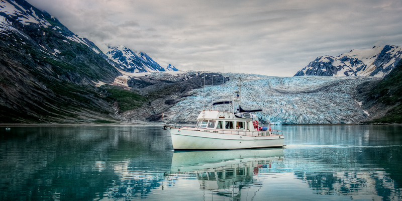
Reid Inlet provided us with a most welcome peaceful night, and we caught up on some of the sleep we lost in Blue Mouse Cove. In the morning, we watched the crews of Northwest Explorations’ Mother Goose fleet get underway. I called the lead ship Deception and offered to take some photos of her with the glacier in the background. As the Grand Banks came abeam Arctic Star,the captain chose to make a disparaging comment on my attire; I was still in my “jammies.” His mistake. As they passed I lowered my camera, turned around and mooned the crew. Not exactly how they expected to start their day.

Deception departs Reid Inlet after being "mooned"

One of the big cruise ships (only 2 allowed in per day) passed Reid Inlet on their way north to see the other glaciers. Shortly thereafter a second big cruise ship headed up the same way. We did some calculations and decided to have breakfast before we set off for the same destination. We hoped they would be leaving as we arrived. For the past week, Karen had been watching the weather in hopes of timing our day at the glaciers so that we had the best weather of the week; sunshine was in our hopes. Her calculations and prayers worked. It was a beautiful morning. There were clouds in the area, but where we were, the sun came out and started to dominate the view.

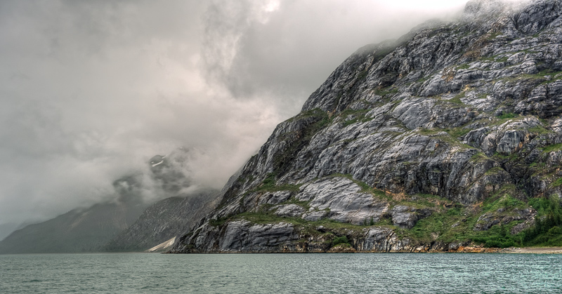
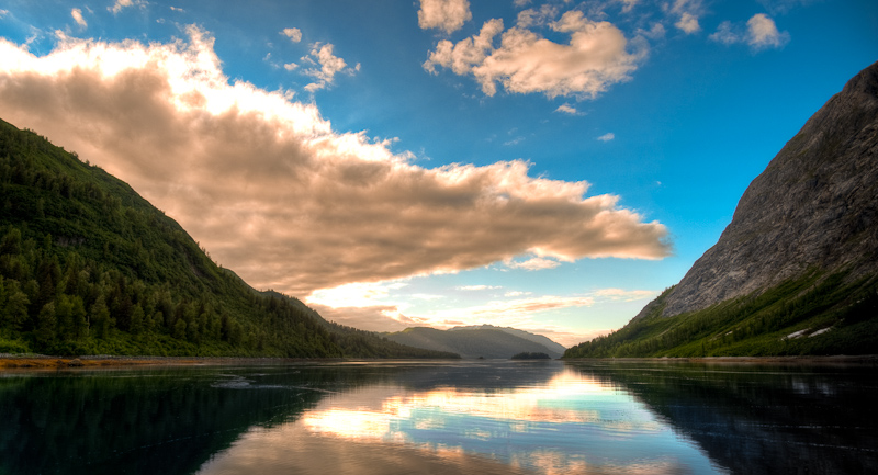
Granite and clouds define the landscape...until the sun comes out
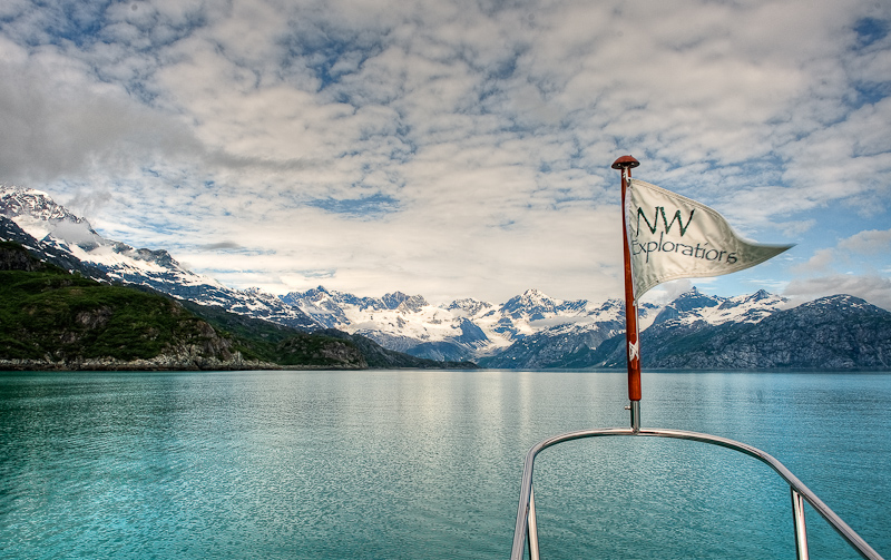
When the clouds retreat, the mountains advance

We left Reid Inlet with a final farewell to this cool glacier and lovely anchorage. The anchor came up covered in thin, sticky glacier silt. Karen had her hands full getting it clean. We decided to head to Lamplugh Glacier first and take a look down Johns Hopkins Inlet (closed to motorized vehicles at the present time) before heading up Tarr Inlet to the Margerie and Grand Pacific Glaciers.

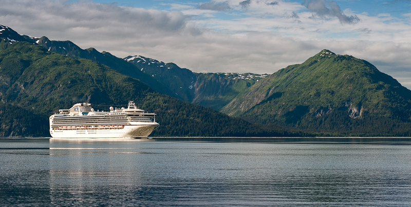
The Coral Princess makes its way from glacier to glacier

As we neared Lamplugh, we saw one of the large cruise ships coming out. I called him on VHF 13 to learn his intentions and set up a port to port pass. This was the Coral Princess, heading from Lamplugh up to Tarr Inlet, and she would be no factor for us. We thought we’d have this area all to ourselves when we heard the 2nd cruise ship call the Coral Princessand arrange a port to port pass as well in Tarr Inlet. That told us that the 2nd cruise ship was likely to be coming into our view shortly.

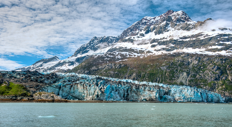
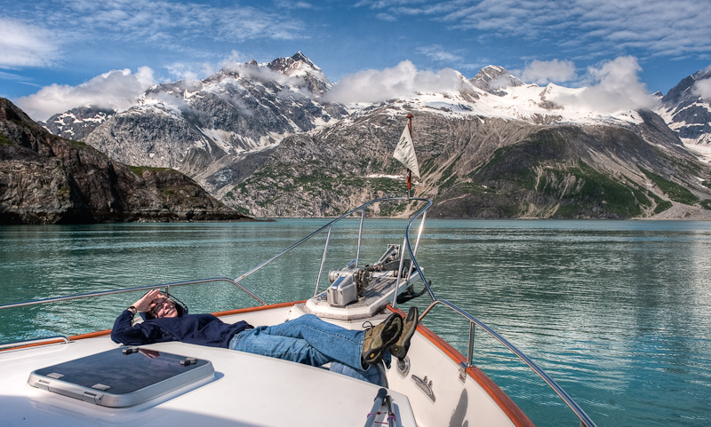
We spent some time at Lamplugh Glacier, drifting in front of it and snapping away with the cameras. It was so sunny and bright, and the glacier was quite attractive with some snow covered hills in the background. Shortly thereafter, the Norwegian Pearl poked her nose around the corner on the far shore from where we were. I spoke with the captain about his intentions, and we arranged it so that he would follow the far shore to Jaw Point, hover there to afford his passengers a great view, and then we’d kind of trade places. We enjoyed watching him maneuver, and we suspect that many of the passengers took photos of our boat. We were lazing about at idle, with Karen lying in the sun on the bow, one head on a fender as a cushion. Pretty nice.

Lamplugh Glacier's blue is striking against the granite grey and snow white mountains

Waiting for the cruise ship to move on so we can get a good view of the Johns Hopkins glacier

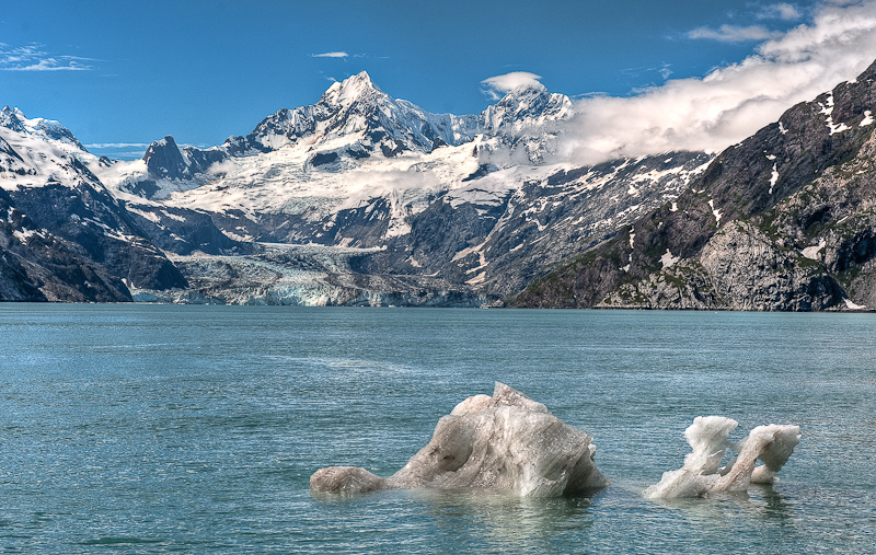
The Johns Hopkins Glacier and its surrounds

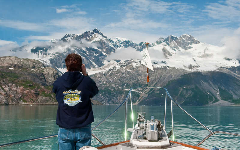
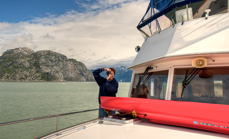
It's hard to resist taking lots of pictures around here

Caught you!
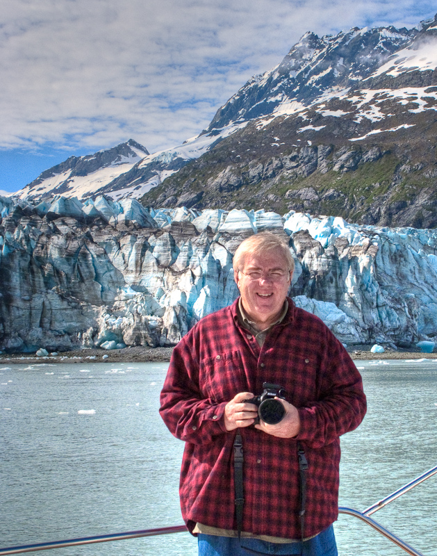
You too!


What was even nicer was the view down Johns Hopkins. Wow…it looked like the Matterhorn in the background with a lovely glacier spilling down to the sea. We took lots of pictures before heading north up Tarr Inlet. As we headed North, we passed the Coral Princess again (she was southbound now) and a small pocket cruiser…and then we had the two glaciers all to ourselves for the entire 2 hours or so we hung out there.

The Grand Pacific Glacier at the head of Tarr Inlet is massive at over 34 miles in length and 2 miles wide at its face. However, the face looks like a big pile of dirt; not very photogenic. really unattractive and extremely dirty…it looks like a dirty wall rather than a glacier. Only from a distance can you see the ice “road” of the glacier.

The Grand Pacific Glacier has a very dirty face

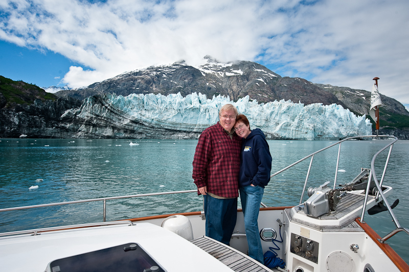
Luckily for us, the Margerie Glacier was just off to port, and this was the glacier Karen noted was the primary photo opportunity. It is much more of what you expect in a glacier. White with glacier blue and a sheer face that calves and launch bergie bits into the water with a resounded retort.

Margerie Glacier is the most photogenic of the lot

It was gorgeous, a pretty blue with big spires of ice. We worked our way through all the bergie bits to get close enough for photos and we drifted for a long while, watching the glacier, taking photos and watching some calving. We also noticed that the sun was deciding to go away, and clouds were moving in, especially back down the way we had to depart.

One of the nice features of the glaciers in Glacier Bay is that the approached as not typically clogged with ice. It is not difficult to approach and most of the ice is small and widely spaced. You can do all the glacier watching you want here and never leave and of your hull paint or gel coat behind.

Not hard to understand why we do this, is it?

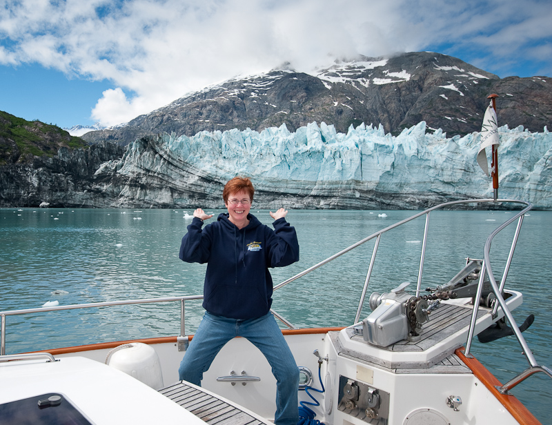
Karen must have had too much sun today. She's getting goofy.

So around 2, we headed southbound to check out a possibly anchorage at Russell Island, not far from Reid Inlet where we had spent the prior evening. A quick check showed that this was “OK” but not super, and so we decided that we might as well head south to North Sandy Cove. This would allow us to get well south of Blue Mouse Cove, and should also provide some bear watching opportunities. There wasn’t much wind, so the southbound travel was quite pleasant rather than slamming into the wind and seas as we had seen other boats do earlier in the week.

About 7:30 or so we arrived at North Sandy, to find not only our Mother Goose friends, but two other boats. We saw a black bear ashore as we checked out anchorages, and finally dropped anchor in about 35’ of water at high tide. We chatted briefly via VHF with Brian on Deception, and watched some of the dinghy activity going on around us while we had a late dinner and a great bottle of wine. We settled in for a quite night with plans to explore the cove in the morning before heading south to Bartlett Cove.
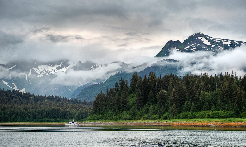
North Sandy Cove has a lot to recommend it, including the views

Blue Mouse Cove to Reid Inlet

(Karen writes)  Yikes, what a miserable night we had in Blue Mouse. When we anchored earlier in the day, the winds were from the NE. However, about 11pm, they turned to the South. We should have gotten up, pulled the anchor and moved to the other side of the cove. However, we hoped the wind and seas would lie down in the nighttime. This was a faulty assumption.  The fetch picked up, the boat was rocked from side to side, the anchor chain was making noise, and the waves were crashing on the boat. Bob ended up sleeping (or trying to) on the settee so he could see the anchor circle on the Nobeltec  display and make certain he heard any anchor alarms going off. I tried to sleep but was unsuccessful. I swear I was awake every hour on the hour, between the noise, the waves, the rocking, and the anchor alarm that was set by the bed, which went off for no good reason all night long.

About 5am, we had both had it. We decided to get the hell out of Dodge. Bleary eyed, we realized one of us had to run to the flybridge to turn on the master Raymarine; normally a PITA but not dangerous. Today getting up there required the balance of a mountain goat. I did it, hanging on to everything and anything I could find. I was prepared to go on the heaving bow to raise the anchor, but we decided to do it from the safety and warmth of the cabin. This was our first time using the helm control station for the windless and it worked like a charm. We headed out to find greener pastures.

However, it was still cloudy and rainy and windy, so not much was green. Coupled with the fact that we both were sleep deprived, it was a sad Arctic Star that departed Blue Mouse. I suggested we head over to Tidal Inlet to see what we could see. Of course, this meant beam seas across the bay…sigh…Bob minimized the issue by tacking, and it wasn’t too long before we were out of most of the wind and seas in Tidal Inlet. This is a narrow inlet with steep-to sides, the location of the potential landslide that caused the Park Rangers to move their float from Blue Mouse to South Sandy Cove. We enjoyed the scenery despite the gloom as we went down to the head. On the way back, we saw a nice ledge with reasonable depth and we dropped the hook. It set well and within minutes we were both asleep. We slept in the peaceful inlet for 3 hours, and awoke at 10am feeling much better and with a more positive outlook on life. We had breakfast, and lazed around, and then headed out for Reid Inlet, which has a glacier at its head that is not tidal but on land, so you can dinghy up to it and check it out.

You got to find a picture on rainy days too

On the way up the Bay, we swung by Skidmore Cut to see the “whale carcass”. Yes, there is a whale carcass, and no, it wasn’t that exciting, at least when we went by. We heard from other boaters that they saw bears and wolves feeding on the carcass when they went by. Oh well.

As we neared Reid Inlet, the sun started to come out just over the glacier. It was lovely and guess who was there? The Mother Goose Fleet.  Of course, they took all the great anchoring spots, but we found one too and were welcomed to the inlet.  After getting anchored, Brian and Bill Douglass came over via dinghy to try and troubleshoot our stabilizer problem. How many men can you fit in a small engine room? It was fun to watch, though all our efforts were to no avail. However, we did help narrow down what the issue might be and hopefully the next charterers will have full use of the stabilizers once some new parts are put on in Juneau.

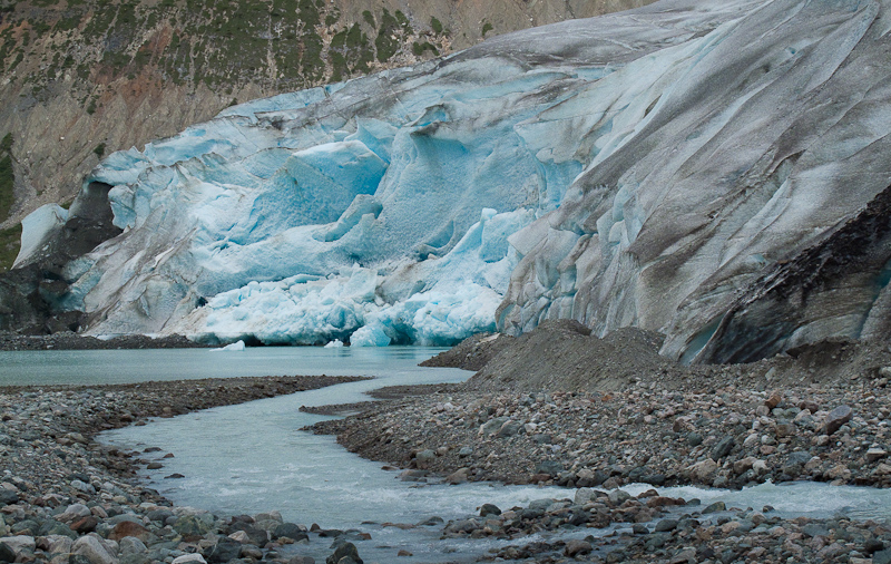
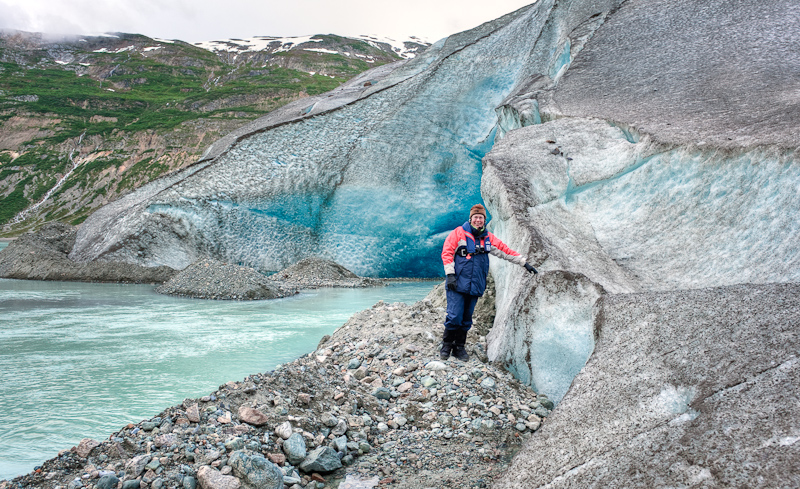
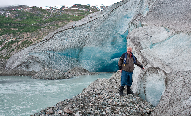
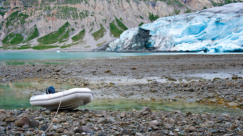
Stabilizer troubleshooting finished, we lowered the dinghy and headed for the glacier. We beached the dinghy on a falling tide (always a problem) and sort of did a mountain-goat walk, fording some streams and glacier outflow, to get to the face of the glacier and actually touch it. It was really cool, and really beautiful. There was a lot of water flowing from under the glacier and it made for good pictures.

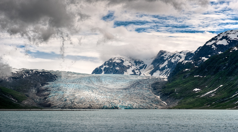
The face of the Reid Glacier. Many miles of ice are behind this and out of sight from this low vantage point.

You never realize how much water comes out from a galcier until you get close. This was just one small outflow from the massive ice wall.

"I touched  the face of a glacier"

"Me too"

When the tide goes out around here, it goes really fast!

Karen leads our tour of Reid Inlet

Neogaiting around the small bits of glacier in Reid Inlet

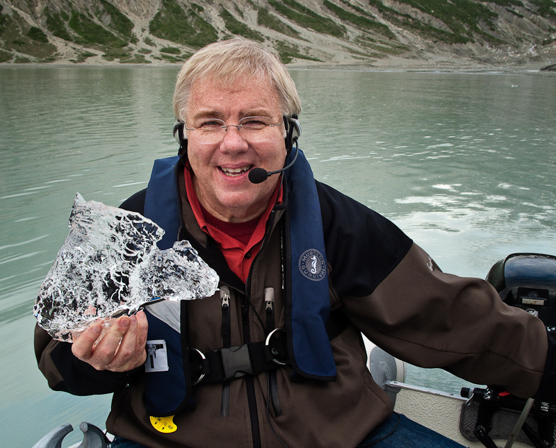
Glacier ice is very different than regular ice. Dense, clear and does wonders for any alcoholic beverage.

On the way back to the boat, we noticed some kayakers making a camp on the port side of the glacier…brr…can’t imagine that was as comfortable as Arctic Star! We also saw that the charter boat Safari Spirithad come into the inlet, and as we dinghied by, we spoke to a crew member who told us she was 105 feet long.  This boat was anchored near the face of the glacier, and one of the Mother Goose boats, a 42’ Grand Banks, was off to her port side. The GB looked like a toy remote control toy boat given the scale – not only the scale of Safari Spirit, but the scale of the entire glacier and inlet. It’s something we’re still not used to in Alaska. I took a cool picture of that and hopefully it will show you what I mean.

Back on board, Bob made his famous curried chicken salad and we feasted before hitting the sack for more “catch up sleep”, enjoying a calm and nearly windless night after the rock and roll of Blue Mouse.

Dundas Bay to Snug Cove via Bartlett Cove, Glacier Bay

(Karen writes) As hoped, we awoke to some sunny breaks in the morning with a promise of a brightening day. Sometime during the late evening or early morn, a sailboat came into the same bay as ours, but anchored more toward the entrance in deeper water. As we prepared to depart, we were amazed how low the tide was – we had planned for it, but it always gets your attention when the depth sounder reads 10 feet. Dundas looked much more interesting in the sun, and there were tons of little islands worth returning to explore. I spotted a brown bear on the way out, but Bob wasn’t interested in picture taking because the bear was in the shade and wasn’t terribly distinctive from the background.

We knew we’d face favorable currents in Icy Strait as we headed for Glacier Bay, and we certainly did. We had hoped to see a bunch of whales at Point Carolus before entering the park boundary, but there were just a few, cruising around peacefully. We hailed the park rangers  to announce our intention to enter, and then rode favorable currents all the way to Bartlett Cove and the ranger station. We had to slow to idle and still were doing over 9 knots. We didn’t want to get to the docks too early, because you can only stay on the docks for 3 hours in 24, and our briefing wasn’t until 2pm!

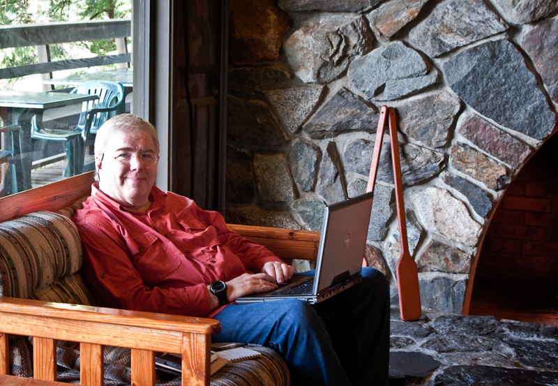
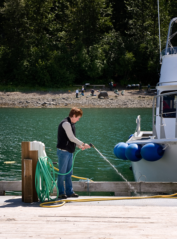
The docks were quite luxurious and uncrowded when we arrived at noon. We tied up and filled the water tanks, which were depleted after doing some laundry and we figured it would be quicker than trying to regain the gallons with the watermaker. We then headed up to Glacier Bay Lodge, where Bob uploaded the blog and pictures for several days while I snooped around and downloaded a few updates for my Nook as well as purchasing a few more e-books given the wifi connection.

Bob updates this blog while enjoying the comforts of the lodge at Barlett Cove

Karen investigates the water supply on the docks

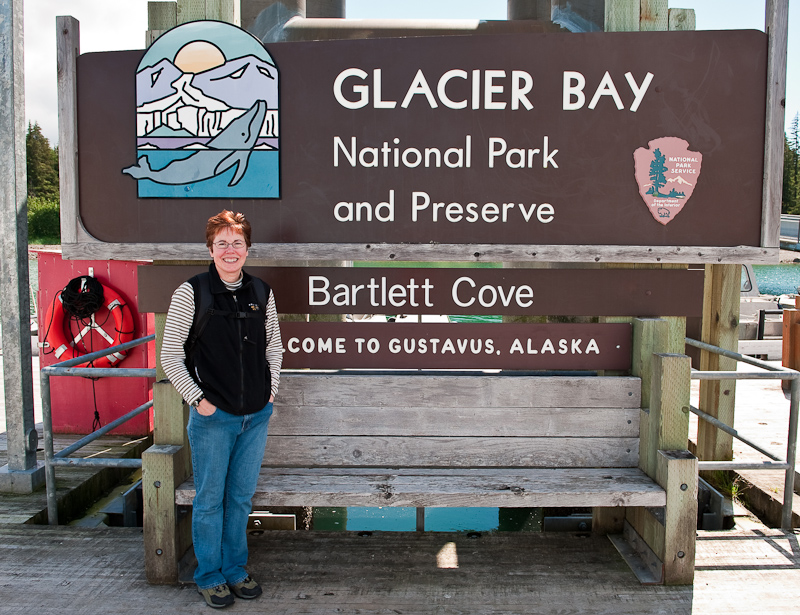
One of those "I was there" photos

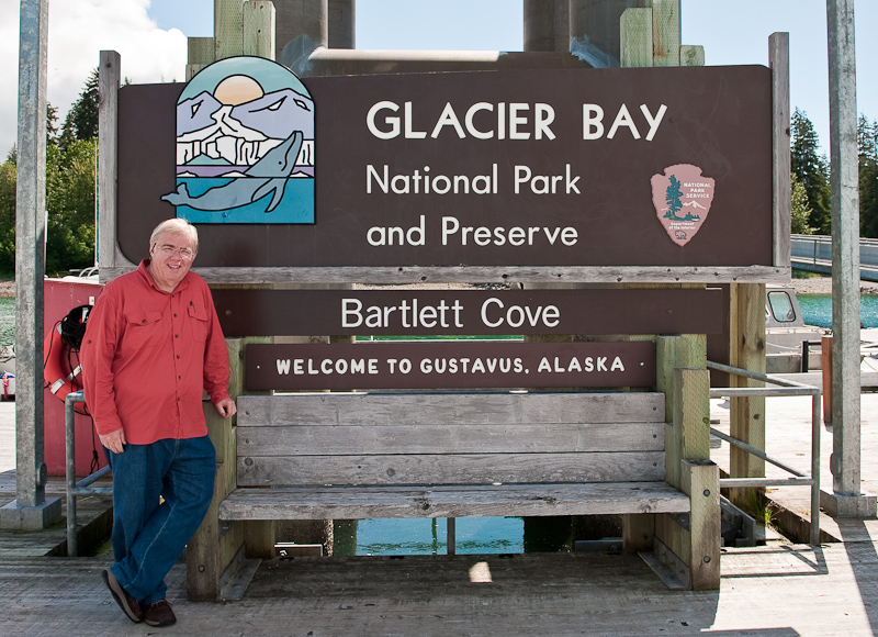
"I was there too"

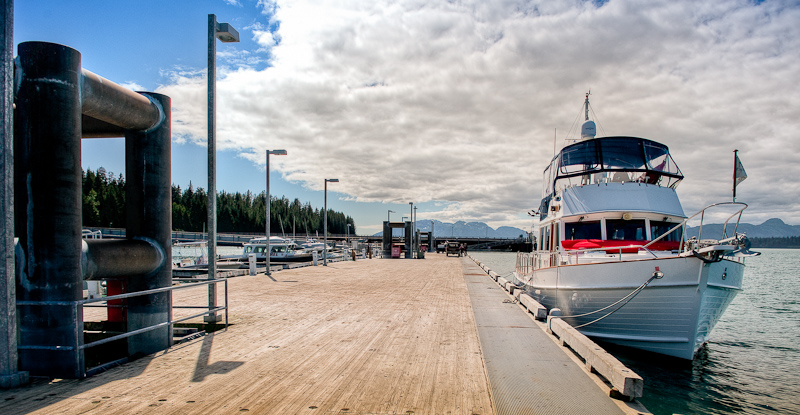
The docks at Bartlett Cove. Only the U.S. Government could build docks like this.

Bog, wide and you can drive a car on the docks. The pilings look as if there are designed for cruise ships.

We headed over to our briefing at 2pm with just one other boater. We saw a nice video (Taken on a sunny day or two – rare!) and reviewed the rules before deciding to depart for destinations north. To go north of Bartlett Cove, you need to pass through Sitakady Narrows, which can run at 7kts. That’s great if it’s in your favor and not so great if it’s against you. By leaving at 3, we were able to ride the last of the favorable current and not have to buck much adverse current. We saw lots of humpbacks along the way, and took a detour by South Marble Island (obeying the distance requirements, of course!) to see the sea lion haul out, which was quite something (and quite noisy). This haul out is full of immature males who apparently spend their time practicing how to be an alpha male, posturing and snorting and shoving each other around. It’s quite amusing to watch. We also saw a few puffins, but Bob wasn’t able to get a photo of them, so we will have to return on our way out of the bay. We also saw a large cruise ship departing the Bay, the Diamond Princess. It looked kind of like the Starship Enterprise, at least on the top deck. I can’t imagine that the passengers on the Princess get the same kind of wilderness experience that we do!

When the sun comes out, everying is beautiful!

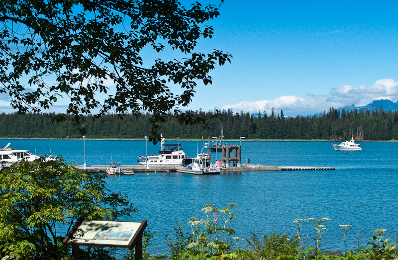
Looking back to the docks and lodge at Bartlett Cove

Glacier Bay opens up before the bow of Arctic Star

Our original anchorage destination was North Fingers Cove, but given the sunshine and the decent timing, we changed it to Snug Cove in Geike Inlet. It was really beautiful and very alpine looking. The entrance was small and there was a long narrow channel to the head, which was a great bear beach with a fresh water stream and several waterfalls.  While definitely peaceful and well protected, the anchorage was deep, and we ended up in about 70 feet of water with a well-set anchor.

The sunset approaches in Snug Cove

By the time all was said and done, we had enough energy for me to make my famous Tuna Melts and enjoy a left over piece or two of cornbread…we enjoyed the sun as we wound down for the evening.